Distance to Amherst, Colorado

Calculating Your Route
Just a moment while we process your request...
Location Information
-
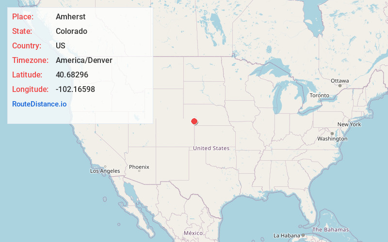
Full AddressAmherst, CO 80721
-
Coordinates40.6829603, -102.1659801
-
LocationAmherst , Colorado , US
-
TimezoneAmerica/Denver
-
Current Local Time3:20:02 AM America/DenverWednesday, June 18, 2025
-
Page Views0
About Amherst
Amherst is a census-designated place and a post office located in Phillips County, Colorado, United States. As of the United States Census 2020, the population of the Amherst CDP was 47.
Nearby Places
Found 10 places within 50 miles

Venango
8.6 mi
13.8 km
Venango, NE 69168
Get directions
Holyoke
9.9 mi
15.9 km
Holyoke, CO 80734
Get directions

Julesburg
21.7 mi
34.9 km
Julesburg, CO 80737
Get directions

Ovid
22.4 mi
36.0 km
Ovid, CO 80744
Get directions

Haxtun
24.3 mi
39.1 km
Haxtun, CO 80731
Get directions

Grant
25.6 mi
41.2 km
Grant, NE 69140
Get directions

Sedgwick
25.7 mi
41.4 km
Sedgwick, CO 80749
Get directions

Big Springs
26.7 mi
43.0 km
Big Springs, NE 69122
Get directions

Imperial
29.7 mi
47.8 km
Imperial, NE 69033
Get directions

Brule
31.8 mi
51.2 km
Brule, NE 69127
Get directions
Location Links
Local Weather
Weather Information
Coming soon!
Location Map
Static map view of Amherst, Colorado
Browse Places by Distance
Places within specific distances from Amherst
Short Distances
Long Distances
Click any distance to see all places within that range from Amherst. Distances shown in miles (1 mile ≈ 1.61 kilometers).