Distance to Brule, Nebraska

Calculating Your Route
Just a moment while we process your request...
Location Information
-
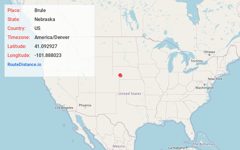
Full AddressBrule, NE 69127
-
Coordinates41.092927, -101.8880234
-
LocationBrule , Nebraska , US
-
TimezoneAmerica/Denver
-
Current Local Time1:52:12 PM America/DenverSunday, June 1, 2025
-
Page Views0
About Brule
Brule is a village in Keith County, Nebraska, United States. The population was 326 at the 2010 census. The village is named after the Brule Sioux, who camped at that location.


Nearby Places
Found 10 places within 50 miles

Ogallala
9.1 mi
14.6 km
Ogallala, NE 69153
Get directions

Big Springs
9.9 mi
15.9 km
Big Springs, NE 69122
Get directions

Grant
19.2 mi
30.9 km
Grant, NE 69140
Get directions

Julesburg
20.9 mi
33.6 km
Julesburg, CO 80737
Get directions

Ovid
27.6 mi
44.4 km
Ovid, CO 80744
Get directions

Paxton
27.8 mi
44.7 km
Paxton, NE 69155
Get directions

Chappell
30.1 mi
48.4 km
Chappell, NE 69129
Get directions

Oshkosh
32.0 mi
51.5 km
Oshkosh, NE 69154
Get directions

Sutherland
39.9 mi
64.2 km
Sutherland, NE 69165
Get directions

Holyoke
41.3 mi
66.5 km
Holyoke, CO 80734
Get directions
Location Links
Local Weather
Weather Information
Coming soon!
Location Map
Static map view of Brule, Nebraska
Browse Places by Distance
Places within specific distances from Brule
Short Distances
Long Distances
Click any distance to see all places within that range from Brule. Distances shown in miles (1 mile ≈ 1.61 kilometers).