Distance to Amistad, New Mexico

Calculating Your Route
Just a moment while we process your request...
Location Information
-
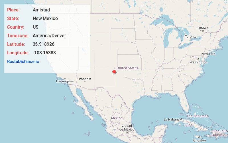
Full AddressAmistad, NM 88410
-
Coordinates35.9189256, -103.1538304
-
LocationAmistad , New Mexico , US
-
TimezoneAmerica/Denver
-
Current Local Time8:26:08 PM America/DenverTuesday, June 17, 2025
-
Page Views0
About Amistad
Amistad is an unincorporated community in Union County, New Mexico, United States. It is located approximately 39 miles south of Clayton on State Route 402.
Nearby Places
Found 10 places within 50 miles

Centerville
9.1 mi
14.6 km
Centerville, NM 88426
Get directions
Rosebud Farms
16.8 mi
27.0 km
Rosebud Farms, NM 88410
Get directions
Rosebud
17.2 mi
27.7 km
Rosebud, NM 88410
Get directions
Romero
18.2 mi
29.3 km
Romero, TX 79022
Get directions
Middle Water
21.1 mi
34.0 km
Middle Water, TX 79022
Get directions

Nara Visa
21.8 mi
35.1 km
Nara Visa, NM 88430
Get directions
Obar
26.7 mi
43.0 km
Obar, NM 88430
Get directions

Texline
32.5 mi
52.3 km
Texline, TX 79087
Get directions
Bolin
32.7 mi
52.6 km
Bolin, TX 79022
Get directions
Beenham
33.7 mi
54.2 km
Beenham, NM 88424
Get directions
Location Links
Local Weather
Weather Information
Coming soon!
Location Map
Static map view of Amistad, New Mexico
Browse Places by Distance
Places within specific distances from Amistad
Short Distances
Long Distances
Click any distance to see all places within that range from Amistad. Distances shown in miles (1 mile ≈ 1.61 kilometers).