Distance to Anchor, Louisiana

Calculating Your Route
Just a moment while we process your request...
Location Information
-
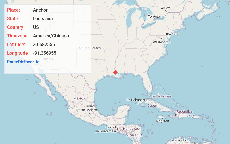
Full AddressAnchor, LA 70749
-
Coordinates30.6825554, -91.3569553
-
LocationAnchor , Louisiana , US
-
TimezoneAmerica/Chicago
-
Current Local Time12:42:53 PM America/ChicagoWednesday, June 18, 2025
-
Page Views0
About Anchor
Anchor was the name of a community located in southeastern Pointe Coupee Parish, Louisiana, United States. The community was located along the Mississippi River, north of the Pointe Coupee - West Baton Rouge Parish line.
Nearby Places
Found 10 places within 50 miles

Waterloo
0.8 mi
1.3 km
Waterloo, LA 70783
Get directions
Wickliffe
2.4 mi
3.9 km
Wickliffe, LA 70783
Get directions

Ventress
3.0 mi
4.8 km
Ventress, LA 70783
Get directions
Port Hickey
4.2 mi
6.8 km
Port Hickey, LA 70791
Get directions
Powell
4.2 mi
6.8 km
Powell, LA 70775
Get directions

New Roads
4.9 mi
7.9 km
New Roads, LA 70760
Get directions

Port Hudson
5.2 mi
8.4 km
Port Hudson, LA 70791
Get directions
Lakeland
6.1 mi
9.8 km
Lakeland, LA 70752
Get directions
Starhill
6.2 mi
10.0 km
Starhill, LA 70775
Get directions
Walls
6.8 mi
10.9 km
Walls, LA 70729
Get directions
Location Links
Local Weather
Weather Information
Coming soon!
Location Map
Static map view of Anchor, Louisiana
Browse Places by Distance
Places within specific distances from Anchor
Short Distances
Long Distances
Click any distance to see all places within that range from Anchor. Distances shown in miles (1 mile ≈ 1.61 kilometers).