Distance to Anderson, California

Calculating Your Route
Just a moment while we process your request...
Location Information
-
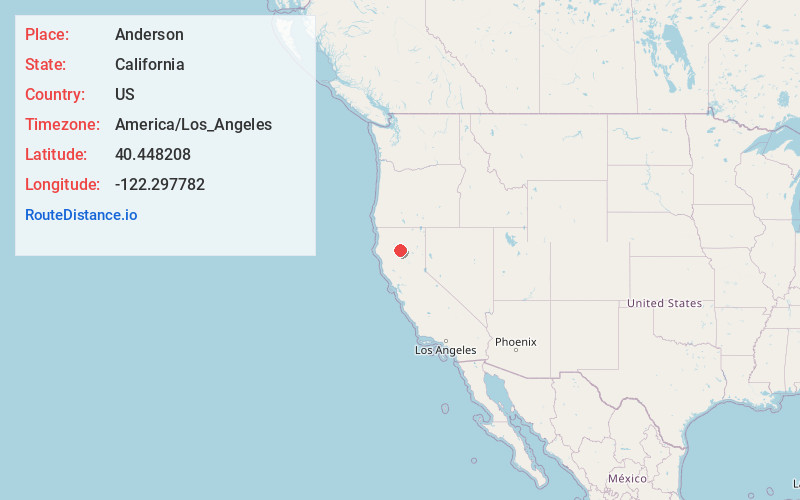
Full AddressAnderson, CA 96007
-
Coordinates40.448208, -122.2977815
-
LocationAnderson , California , US
-
TimezoneAmerica/Los_Angeles
-
Current Local Time5:51:48 PM America/Los_AngelesWednesday, June 18, 2025
-
Website
-
Page Views0
About Anderson
Anderson is a city in Shasta County, California, approximately 10 miles south of Redding. Its population is 11,323 as of the 2020 census, up from 9,932 from the 2010 census.
Located 138 miles north of Sacramento, the city's roots are as a railroad town near the northern tip of the Central Valley of California.


Nearby Places
Found 2 places within 50 miles


Location Links
Local Weather
Weather Information
Coming soon!
Location Map
Static map view of Anderson, California
Browse Places by Distance
Places within specific distances from Anderson
Short Distances
Long Distances
Click any distance to see all places within that range from Anderson. Distances shown in miles (1 mile ≈ 1.61 kilometers).