Distance to Anderson, Alabama

Calculating Your Route
Just a moment while we process your request...
Location Information
-
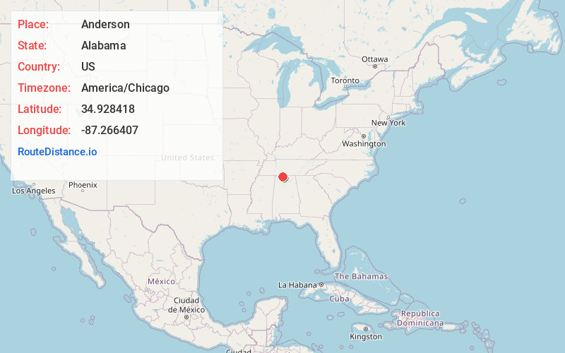
Full AddressAnderson, AL
-
Coordinates34.9284179, -87.266407
-
LocationAnderson , Alabama , US
-
TimezoneAmerica/Chicago
-
Current Local Time4:24:22 AM America/ChicagoFriday, May 30, 2025
-
Page Views0
About Anderson
Anderson is a town in Lauderdale County, Alabama, United States. It is part of the Florence - Muscle Shoals Metropolitan Statistical Area known as "The Shoals". As of the 2010 U.S. Census, the town had a population of 282, down from 354 in 2000.

Nearby Places
Found 10 places within 50 miles

Lexington
6.6 mi
10.6 km
Lexington, AL 35648
Get directions

Rogersville
7.3 mi
11.7 km
Rogersville, AL 35652
Get directions

Minor Hill
10.7 mi
17.2 km
Minor Hill, TN
Get directions

Loretto
14.2 mi
22.9 km
Loretto, TN 38469
Get directions

St Joseph
15.5 mi
24.9 km
St Joseph, TN
Get directions

Killen
16.0 mi
25.7 km
Killen, AL 35645
Get directions

Elkmont
16.6 mi
26.7 km
Elkmont, AL 35620
Get directions
Leoma
16.8 mi
27.0 km
Leoma, TN 38468
Get directions

North Courtland
17.7 mi
28.5 km
North Courtland, AL 35618
Get directions

Courtland
18.1 mi
29.1 km
Courtland, AL
Get directions
Location Links
Local Weather
Weather Information
Coming soon!
Location Map
Static map view of Anderson, Alabama
Browse Places by Distance
Places within specific distances from Anderson
Short Distances
Long Distances
Click any distance to see all places within that range from Anderson. Distances shown in miles (1 mile ≈ 1.61 kilometers).