Distance to Lexington, Alabama

Calculating Your Route
Just a moment while we process your request...
Location Information
-
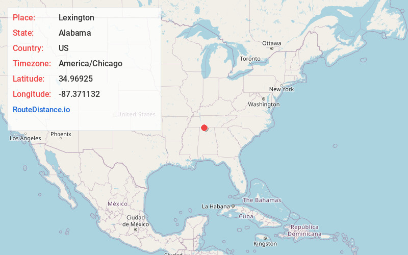
Full AddressLexington, AL 35648
-
Coordinates34.96925, -87.3711316
-
LocationLexington , Alabama , US
-
TimezoneAmerica/Chicago
-
Current Local Time1:17:23 PM America/ChicagoSaturday, June 14, 2025
-
Website
-
Page Views0
About Lexington
Lexington is a town in Lauderdale County, Alabama, United States. It is part of the Florence–Muscle Shoals Metropolitan Statistical Area known as "The Shoals". It incorporated in 1959. As of the 2010 census, the population of the town is 735, down from 840 in 2000.


Nearby Places
Found 10 places within 50 miles

Loretto
8.4 mi
13.5 km
Loretto, TN 38469
Get directions

Rogersville
10.8 mi
17.4 km
Rogersville, AL 35652
Get directions

Killen
12.0 mi
19.3 km
Killen, AL 35645
Get directions

Lawrenceburg
19.0 mi
30.6 km
Lawrenceburg, TN
Get directions

Underwood-Petersville
19.2 mi
30.9 km
Underwood-Petersville, AL
Get directions
Town Creek
20.0 mi
32.2 km
Town Creek, AL 35672
Get directions

Florence
20.9 mi
33.6 km
Florence, AL
Get directions

Muscle Shoals
22.9 mi
36.9 km
Muscle Shoals, AL
Get directions

Sheffield
23.3 mi
37.5 km
Sheffield, AL
Get directions

Tuscumbia
25.0 mi
40.2 km
Tuscumbia, AL 35674
Get directions
Location Links
Local Weather
Weather Information
Coming soon!
Location Map
Static map view of Lexington, Alabama
Browse Places by Distance
Places within specific distances from Lexington
Short Distances
Long Distances
Click any distance to see all places within that range from Lexington. Distances shown in miles (1 mile ≈ 1.61 kilometers).