Distance to Sheffield, Alabama

Calculating Your Route
Just a moment while we process your request...
Location Information
-
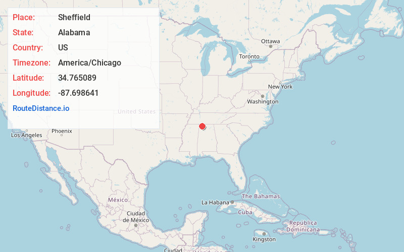
Full AddressSheffield, AL
-
Coordinates34.7650887, -87.6986407
-
LocationSheffield , Alabama , US
-
TimezoneAmerica/Chicago
-
Current Local Time2:52:38 AM America/ChicagoMonday, June 23, 2025
-
Website
-
Page Views0
About Sheffield
Sheffield is a city in Colbert County, Alabama, United States, and is included in the Florence-Muscle Shoals Metropolitan Area. The population was 9,403 at the 2020 census. and was estimated to be 9,307 in 2023.


Nearby Places
Found 8 places within 50 miles

Muscle Shoals
2.3 mi
3.7 km
Muscle Shoals, AL
Get directions

Florence
2.7 mi
4.3 km
Florence, AL
Get directions

Russellville
17.9 mi
28.8 km
Russellville, AL
Get directions

Lawrenceburg
38.9 mi
62.6 km
Lawrenceburg, TN
Get directions

Athens
41.3 mi
66.5 km
Athens, AL
Get directions

Decatur
42.1 mi
67.8 km
Decatur, AL
Get directions

Corinth
48.1 mi
77.4 km
Corinth, MS 38834
Get directions

Hartselle
48.8 mi
78.5 km
Hartselle, AL 35640
Get directions
Location Links
Local Weather
Weather Information
Coming soon!
Location Map
Static map view of Sheffield, Alabama
Browse Places by Distance
Places within specific distances from Sheffield
Short Distances
Long Distances
Click any distance to see all places within that range from Sheffield. Distances shown in miles (1 mile ≈ 1.61 kilometers).