Distance to Hartselle, Alabama

Calculating Your Route
Just a moment while we process your request...
Location Information
-
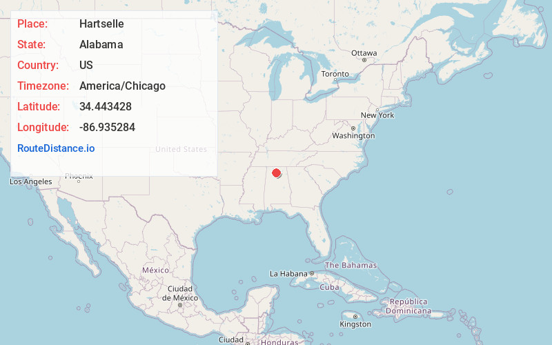
Full AddressHartselle, AL 35640
-
Coordinates34.4434282, -86.9352842
-
LocationHartselle , Alabama , US
-
TimezoneAmerica/Chicago
-
Current Local Time8:18:18 AM America/ChicagoWednesday, June 18, 2025
-
Website
-
Page Views0
About Hartselle
Hartselle is the second largest city in Morgan County, Alabama, United States, 13 miles south of Decatur. It is part of the Decatur Metropolitan Area and the Huntsville-Decatur Combined Statistical Area.
As of the 2020 census, the population of the city was 15,455.


Nearby Places
Found 8 places within 50 miles

Decatur
11.6 mi
18.7 km
Decatur, AL
Get directions

Cullman
19.3 mi
31.1 km
Cullman, AL
Get directions

Madison
20.6 mi
33.2 km
Madison, AL
Get directions

Athens
24.9 mi
40.1 km
Athens, AL
Get directions

Huntsville
28.1 mi
45.2 km
Huntsville, AL
Get directions

Albertville
43.2 mi
69.5 km
Albertville, AL
Get directions

Muscle Shoals
46.6 mi
75.0 km
Muscle Shoals, AL
Get directions

Florence
48.9 mi
78.7 km
Florence, AL
Get directions
Location Links
Local Weather
Weather Information
Coming soon!
Location Map
Static map view of Hartselle, Alabama
Browse Places by Distance
Places within specific distances from Hartselle
Short Distances
Long Distances
Click any distance to see all places within that range from Hartselle. Distances shown in miles (1 mile ≈ 1.61 kilometers).