Distance to and from Andover, Massachusetts
Andover, MA
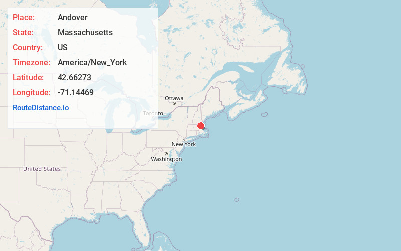
Andover
Massachusetts
US
America/New_York
Location Information
-
Full AddressAndover, MA
-
Coordinates42.6627301, -71.1446897
-
LocationAndover , Massachusetts , US
-
TimezoneAmerica/New_York
-
Current Local Time6:52:49 PM America/New_YorkSaturday, May 3, 2025
-
Website
-
Page Views0
Directions to Nearest Cities
About Andover
Andover is a town in Essex County, Massachusetts, United States. It was settled in 1642 and incorporated in 1646. At the 2020 census, the population was 36,569. It is located 20 miles north of Boston and 4 miles south of Lawrence. Part of the town comprises the census-designated place of Andover.


Nearby Places
Found 10 places within 50 miles

Lawrence
3.2 mi
5.1 km
Lawrence, MA
Get directions

Methuen
5.0 mi
8.0 km
Methuen, MA 01844
Get directions

Haverhill
8.6 mi
13.8 km
Haverhill, MA
Get directions

Lowell
8.6 mi
13.8 km
Lowell, MA
Get directions

Billerica
9.6 mi
15.4 km
Billerica, MA
Get directions

Chelmsford
11.5 mi
18.5 km
Chelmsford, MA
Get directions

Woburn
12.7 mi
20.4 km
Woburn, MA
Get directions

Peabody
14.5 mi
23.3 km
Peabody, MA 01960
Get directions

Beverly
15.3 mi
24.6 km
Beverly, MA
Get directions

Salem
16.1 mi
25.9 km
Salem, MA
Get directions
Lawrence
3.2 mi
5.1 km
Lawrence, MA
Methuen
5.0 mi
8.0 km
Methuen, MA 01844
Haverhill
8.6 mi
13.8 km
Haverhill, MA
Lowell
8.6 mi
13.8 km
Lowell, MA
Billerica
9.6 mi
15.4 km
Billerica, MA
Chelmsford
11.5 mi
18.5 km
Chelmsford, MA
Woburn
12.7 mi
20.4 km
Woburn, MA
Peabody
14.5 mi
23.3 km
Peabody, MA 01960
Beverly
15.3 mi
24.6 km
Beverly, MA
Salem
16.1 mi
25.9 km
Salem, MA
Location Links
Local Weather
Weather Information
Coming soon!
Location Map
Static map view of Andover, Massachusetts
Browse Places by Distance
Places within specific distances from Andover
Short Distances
Long Distances
Click any distance to see all places within that range from Andover. Distances shown in miles (1 mile ≈ 1.61 kilometers).