Distance to Peabody, Massachusetts

Calculating Your Route
Just a moment while we process your request...
Location Information
-
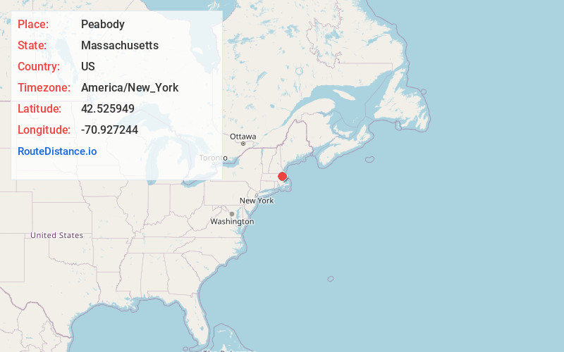
Full AddressPeabody, MA 01960
-
Coordinates42.5259485, -70.9272438
-
LocationPeabody , Massachusetts , US
-
TimezoneAmerica/New_York
-
Current Local Time4:03:47 AM America/New_YorkThursday, June 5, 2025
-
Website
-
Page Views0
About Peabody
Peabody is a city in Essex County, Massachusetts, United States. The population was 54,481 at the time of the 2020 United States census. Peabody is located in the North Shore region of Massachusetts, and is known for its rich industrial history.


Nearby Places
Found 10 places within 50 miles

Lynn
4.2 mi
6.8 km
Lynn, MA
Get directions

Malden
9.9 mi
15.9 km
Malden, MA
Get directions

Medford
11.8 mi
19.0 km
Medford, MA
Get directions

Somerville
13.0 mi
20.9 km
Somerville, MA
Get directions

Boston
13.5 mi
21.7 km
Boston, MA
Get directions

Cambridge
14.3 mi
23.0 km
Cambridge, MA
Get directions

Brookline
16.7 mi
26.9 km
Brookline, MA
Get directions

Lawrence
17.3 mi
27.8 km
Lawrence, MA
Get directions

Waltham
18.8 mi
30.3 km
Waltham, MA
Get directions

Haverhill
18.9 mi
30.4 km
Haverhill, MA
Get directions
Location Links
Local Weather
Weather Information
Coming soon!
Location Map
Static map view of Peabody, Massachusetts
Browse Places by Distance
Places within specific distances from Peabody
Short Distances
Long Distances
Click any distance to see all places within that range from Peabody. Distances shown in miles (1 mile ≈ 1.61 kilometers).