Distance to Andrade Corner, California

Calculating Your Route
Just a moment while we process your request...
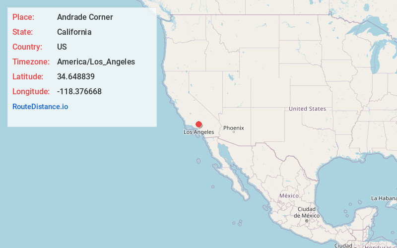
Location Information
-
Full AddressAndrade Corner, Elizabeth Lake, CA 93532
-
Coordinates34.6488392, -118.3766679
-
NeighborhoodAndrade Corner
-
LocationElizabeth Lake , California , US
-
TimezoneAmerica/Los_Angeles
-
Current Local Time11:08:37 AM America/Los_AngelesFriday, June 6, 2025
-
Page Views0
About Andrade Corner
Andrade Corner is an unincorporated community in the Sierra Pelona Mountains, Los Angeles County, California.
It is located 1.4 miles southwest of Johnson Summit at the southwest base of Portal Ridge, 2.5 miles northeast of the town of Green Valley, at an elevation of 3,412 feet.
Nearby Places
Found 10 places within 50 miles

Lake Hughes
4.7 mi
7.6 km
Lake Hughes, CA
Get directions

Pine Canyon
4.9 mi
7.9 km
Pine Canyon, Lake Hughes, CA 93532
Get directions

Leona Valley
5.4 mi
8.7 km
Leona Valley, CA
Get directions

Del Sur
5.7 mi
9.2 km
Del Sur, CA 93536
Get directions
Fairmont
6.5 mi
10.5 km
Fairmont, CA 93536
Get directions

Antelope Acres
8.8 mi
14.2 km
Antelope Acres, CA 93536
Get directions

Quartz Hill
9.0 mi
14.5 km
Quartz Hill, CA 93536
Get directions
Sleepy Valley
9.7 mi
15.6 km
Sleepy Valley, CA 91390
Get directions

Agua Dulce
10.9 mi
17.5 km
Agua Dulce, CA 91390
Get directions
Desert View Highlands
13.4 mi
21.6 km
Desert View Highlands, CA 93551
Get directions
Location Links
Local Weather
Weather Information
Coming soon!
Location Map
Static map view of Andrade Corner, California
Browse Places by Distance
Places within specific distances from Andrade Corner
Short Distances
Long Distances
Click any distance to see all places within that range from Andrade Corner. Distances shown in miles (1 mile ≈ 1.61 kilometers).