Distance to Andrews, Indiana

Calculating Your Route
Just a moment while we process your request...
Location Information
-
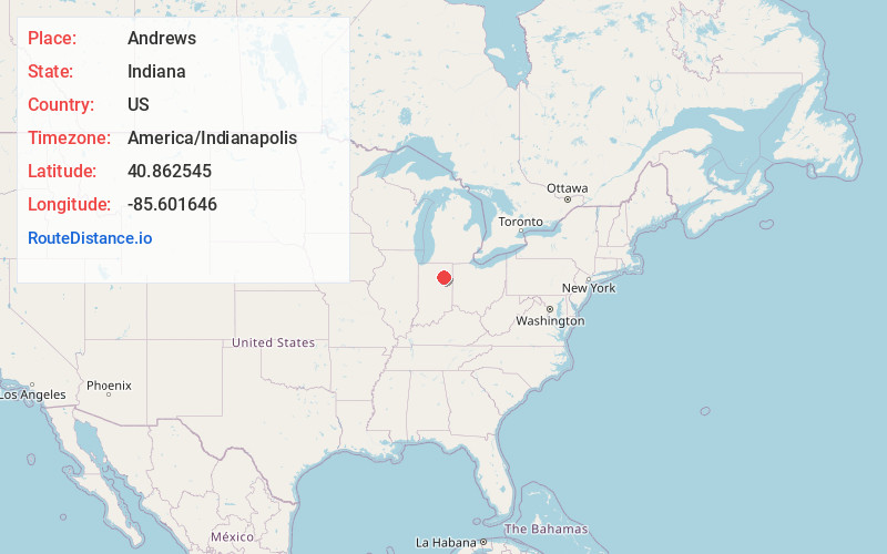
Full AddressAndrews, IN 46702
-
Coordinates40.8625448, -85.6016458
-
LocationAndrews , Indiana , US
-
TimezoneAmerica/Indianapolis
-
Page Views0
About Andrews
Andrews is a town in Dallas Township, Huntington County, Indiana, United States. The population was 1,048 at the 2020 census.
Nearby Places
Found 10 places within 50 miles

Huntington
5.6 mi
9.0 km
Huntington, IN 46750
Get directions

Wabash
12.3 mi
19.8 km
Wabash, IN 46992
Get directions

North Manchester
12.9 mi
20.8 km
North Manchester, IN 46962
Get directions

Roanoke
13.8 mi
22.2 km
Roanoke, IN 46783
Get directions

Markle
14.1 mi
22.7 km
Markle, IN 46770
Get directions

Warren
15.4 mi
24.8 km
Warren, IN 46792
Get directions

South Whitley
15.4 mi
24.8 km
South Whitley, IN 46787
Get directions

Columbia City
21.2 mi
34.1 km
Columbia City, IN 46725
Get directions

Marion
21.2 mi
34.1 km
Marion, IN
Get directions

Sweetser
21.9 mi
35.2 km
Sweetser, IN
Get directions
Location Links
Local Weather
Weather Information
Coming soon!
Location Map
Static map view of Andrews, Indiana
Browse Places by Distance
Places within specific distances from Andrews
Short Distances
Long Distances
Click any distance to see all places within that range from Andrews. Distances shown in miles (1 mile ≈ 1.61 kilometers).