Distance to Markle, Indiana

Calculating Your Route
Just a moment while we process your request...
Location Information
-
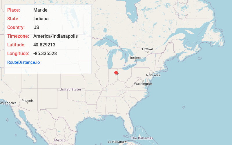
Full AddressMarkle, IN 46770
-
Coordinates40.8292133, -85.3355282
-
LocationMarkle , Indiana , US
-
TimezoneAmerica/Indianapolis
-
Page Views0
About Markle
Markle is a town in Huntington and Wells counties, in the U.S. state of Indiana. The population was 1,071 at the 2020 census. It lies along Interstate 69, U.S. Route 224, State Road 116 and State Road 3.

Nearby Places
Found 10 places within 50 miles

Huntington
9.2 mi
14.8 km
Huntington, IN 46750
Get directions

Roanoke
9.4 mi
15.1 km
Roanoke, IN 46783
Get directions

Ossian
9.5 mi
15.3 km
Ossian, IN 46777
Get directions

Bluffton
10.6 mi
17.1 km
Bluffton, IN 46714
Get directions

Montpelier
19.3 mi
31.1 km
Montpelier, IN 47359
Get directions

Fort Wayne
20.2 mi
32.5 km
Fort Wayne, IN
Get directions

Decatur
21.2 mi
34.1 km
Decatur, IN 46733
Get directions

Berne
23.3 mi
37.5 km
Berne, IN 46711
Get directions

New Haven
23.6 mi
38.0 km
New Haven, IN
Get directions

Columbia City
24.0 mi
38.6 km
Columbia City, IN 46725
Get directions
Location Links
Local Weather
Weather Information
Coming soon!
Location Map
Static map view of Markle, Indiana
Browse Places by Distance
Places within specific distances from Markle
Short Distances
Long Distances
Click any distance to see all places within that range from Markle. Distances shown in miles (1 mile ≈ 1.61 kilometers).