Distance to Montpelier, Indiana

Calculating Your Route
Just a moment while we process your request...
Location Information
-
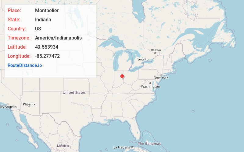
Full AddressMontpelier, IN 47359
-
Coordinates40.5539337, -85.277472
-
LocationMontpelier , Indiana , US
-
TimezoneAmerica/Indianapolis
-
Website
-
Page Views0
About Montpelier
Montpelier is a city in Harrison Township, Blackford County, in the U.S. state of Indiana. This small rural community, the county's first to be platted, was established by settlers from Vermont, and is named after Vermont's capital city of Montpelier.


Nearby Places
Found 10 places within 50 miles

Hartford City
8.6 mi
13.8 km
Hartford City, IN 47348
Get directions

Upland
12.6 mi
20.3 km
Upland, IN 46989
Get directions

Dunkirk
12.8 mi
20.6 km
Dunkirk, IN 47336
Get directions

Bluffton
13.9 mi
22.4 km
Bluffton, IN 46714
Get directions

Eaton
15.2 mi
24.5 km
Eaton, IN 47338
Get directions

Redkey
15.7 mi
25.3 km
Redkey, IN 47373
Get directions

Albany
17.4 mi
28.0 km
Albany, IN 47320
Get directions

Portland
17.8 mi
28.6 km
Portland, IN 47371
Get directions

Gas City
18.2 mi
29.3 km
Gas City, IN
Get directions

Berne
18.5 mi
29.8 km
Berne, IN 46711
Get directions
Location Links
Local Weather
Weather Information
Coming soon!
Location Map
Static map view of Montpelier, Indiana
Browse Places by Distance
Places within specific distances from Montpelier
Short Distances
Long Distances
Click any distance to see all places within that range from Montpelier. Distances shown in miles (1 mile ≈ 1.61 kilometers).