Distance to Anegam, Arizona

Calculating Your Route
Just a moment while we process your request...
Location Information
-
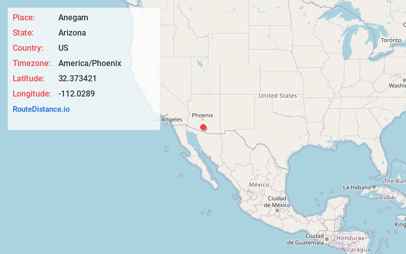
Full AddressAnegam, AZ 85634
-
Coordinates32.373421, -112.0289
-
LocationAnegam , Arizona , US
-
TimezoneAmerica/Phoenix
-
Current Local Time2:31:04 PM America/PhoenixTuesday, June 17, 2025
-
Page Views0
About Anegam
Anegam name translates as "Desert Willow", is a populated place and census-designated place, situated on the Tohono O'odham Indian Reservation, in Pima County, Arizona, United States. Its population was 151 as of the 2010 census, and 154 as of July 1, 2015. It has an estimated elevation of 1,762 feet above sea level.
Nearby Places
Found 10 places within 50 miles

Santa Rosa
3.5 mi
5.6 km
Santa Rosa, AZ 85634
Get directions
Ventana
14.1 mi
22.7 km
Ventana, AZ 85634
Get directions
Pisinemo
28.8 mi
46.3 km
Pisinemo, AZ 85634
Get directions
Chuichu
29.8 mi
48.0 km
Chuichu, AZ
Get directions
Haivana Nakya
31.3 mi
50.4 km
Haivana Nakya, AZ 85634
Get directions

Sells
33.0 mi
53.1 km
Sells, AZ 85634
Get directions

Arizona City
33.7 mi
54.2 km
Arizona City, AZ 85123
Get directions

Stanfield
35.4 mi
57.0 km
Stanfield, AZ 85172
Get directions

Eloy
38.2 mi
61.5 km
Eloy, AZ
Get directions

Picacho
38.8 mi
62.4 km
Picacho, AZ
Get directions
Location Links
Local Weather
Weather Information
Coming soon!
Location Map
Static map view of Anegam, Arizona
Browse Places by Distance
Places within specific distances from Anegam
Short Distances
Long Distances
Click any distance to see all places within that range from Anegam. Distances shown in miles (1 mile ≈ 1.61 kilometers).