Distance to and from Arizona City, Arizona
Arizona City, AZ 85123
Arizona City
Arizona
US
America/Phoenix
Location Information
-
Full AddressArizona City, AZ 85123
-
Coordinates32.7558935, -111.6709584
-
LocationArizona City , Arizona , US
-
TimezoneAmerica/Phoenix
-
Current Local Time2:26:35 PM America/PhoenixSaturday, May 3, 2025
-
Page Views0
Directions to Nearest Cities
About Arizona City
Arizona City is an unincorporated census-designated place in southwestern Pinal County, Arizona, United States. It is located near the junction of Interstate 8 and Interstate 10 at the midpoint between Phoenix and Tucson, approximately 60 miles from the downtown of both cities.


Nearby Places
Found 10 places within 50 miles

Eloy
6.7 mi
10.8 km
Eloy, AZ
Get directions

Casa Grande
12.3 mi
19.8 km
Casa Grande, AZ
Get directions

Coolidge
17.7 mi
28.5 km
Coolidge, AZ
Get directions

Florence
25.2 mi
40.6 km
Florence, AZ
Get directions

San Tan Valley
30.0 mi
48.3 km
San Tan Valley, AZ
Get directions

Maricopa
30.2 mi
48.6 km
Maricopa, AZ
Get directions

Sun Lakes
34.1 mi
54.9 km
Sun Lakes, AZ 85248
Get directions

Queen Creek
34.1 mi
54.9 km
Queen Creek, AZ
Get directions

Marana
34.2 mi
55.0 km
Marana, AZ
Get directions

Picture Rocks
37.6 mi
60.5 km
Picture Rocks, AZ
Get directions
Eloy
6.7 mi
10.8 km
Eloy, AZ
Casa Grande
12.3 mi
19.8 km
Casa Grande, AZ
Coolidge
17.7 mi
28.5 km
Coolidge, AZ
Florence
25.2 mi
40.6 km
Florence, AZ
San Tan Valley
30.0 mi
48.3 km
San Tan Valley, AZ
Maricopa
30.2 mi
48.6 km
Maricopa, AZ
Sun Lakes
34.1 mi
54.9 km
Sun Lakes, AZ 85248
Queen Creek
34.1 mi
54.9 km
Queen Creek, AZ
Marana
34.2 mi
55.0 km
Marana, AZ
Picture Rocks
37.6 mi
60.5 km
Picture Rocks, AZ
Location Links
Local Weather
Weather Information
Coming soon!
Location Map
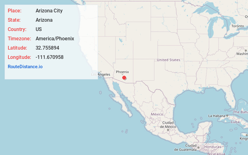
Static map view of Arizona City, Arizona
Browse Places by Distance
Places within specific distances from Arizona City
Short Distances
Long Distances
Click any distance to see all places within that range from Arizona City. Distances shown in miles (1 mile ≈ 1.61 kilometers).