Distance to Maricopa, Arizona

Calculating Your Route
Just a moment while we process your request...
Location Information
-
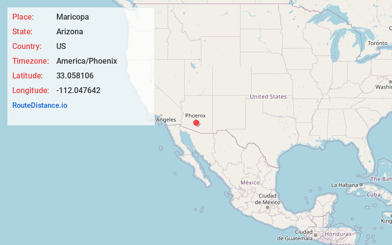
Full AddressMaricopa, AZ
-
Coordinates33.0581063, -112.0476423
-
LocationMaricopa , Arizona , US
-
TimezoneAmerica/Phoenix
-
Current Local Time10:27:07 PM America/PhoenixTuesday, June 17, 2025
-
Website
-
Page Views0
About Maricopa
Maricopa is a city in the Gila River Valley in Pinal County, Arizona, United States. With 66,290 residents as of 2022, Maricopa is the largest incorporated municipality in Pinal County.


Nearby Places
Found 10 places within 50 miles

Chandler
20.9 mi
33.6 km
Chandler, AZ
Get directions

Gilbert
25.3 mi
40.7 km
Gilbert, AZ
Get directions

Tempe
26.1 mi
42.0 km
Tempe, AZ
Get directions

Phoenix
27.0 mi
43.5 km
Phoenix, AZ
Get directions

Mesa
27.7 mi
44.6 km
Mesa, AZ
Get directions

San Tan Valley
30.1 mi
48.4 km
San Tan Valley, AZ
Get directions

Scottsdale
31.0 mi
49.9 km
Scottsdale, AZ
Get directions

Avondale
31.4 mi
50.5 km
Avondale, AZ
Get directions

Goodyear
31.6 mi
50.9 km
Goodyear, AZ
Get directions

Glendale
34.2 mi
55.0 km
Glendale, AZ
Get directions
Location Links
Local Weather
Weather Information
Coming soon!
Location Map
Static map view of Maricopa, Arizona
Browse Places by Distance
Places within specific distances from Maricopa
Short Distances
Long Distances
Click any distance to see all places within that range from Maricopa. Distances shown in miles (1 mile ≈ 1.61 kilometers).