Distance to Avondale, Arizona

Calculating Your Route
Just a moment while we process your request...
Location Information
-
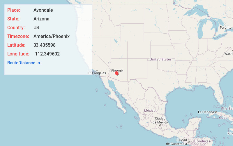
Full AddressAvondale, AZ
-
Coordinates33.4355977, -112.3496021
-
LocationAvondale , Arizona , US
-
TimezoneAmerica/Phoenix
-
Current Local Time9:52:31 AM America/PhoenixThursday, July 3, 2025
-
Website
-
Page Views0
About Avondale
Avondale is a city in Maricopa County, Arizona, United States, adjacent to Phoenix. As of the 2020 census, the population of the city was 89,334, up from 76,238 in 2010 and 35,883 in 2000.
Avondale, incorporated in 1946, has experienced rapid residential and commercial growth in the years since 1980.


Nearby Places
Found 10 places within 50 miles

Goodyear
0.5 mi
0.8 km
Goodyear, AZ
Get directions

Glendale
11.8 mi
19.0 km
Glendale, AZ
Get directions

Peoria
11.9 mi
19.2 km
Peoria, AZ
Get directions

Surprise
13.4 mi
21.6 km
Surprise, AZ
Get directions

Buckeye
14.2 mi
22.9 km
Buckeye, AZ
Get directions

Phoenix
15.7 mi
25.3 km
Phoenix, AZ
Get directions

Tempe
23.6 mi
38.0 km
Tempe, AZ
Get directions

Scottsdale
25.0 mi
40.2 km
Scottsdale, AZ
Get directions

Mesa
29.9 mi
48.1 km
Mesa, AZ
Get directions

Chandler
30.7 mi
49.4 km
Chandler, AZ
Get directions
Location Links
Local Weather
Weather Information
Coming soon!
Location Map
Static map view of Avondale, Arizona
Browse Places by Distance
Places within specific distances from Avondale
Short Distances
Long Distances
Click any distance to see all places within that range from Avondale. Distances shown in miles (1 mile ≈ 1.61 kilometers).