Distance to Peoria, Arizona

Calculating Your Route
Just a moment while we process your request...
Location Information
-
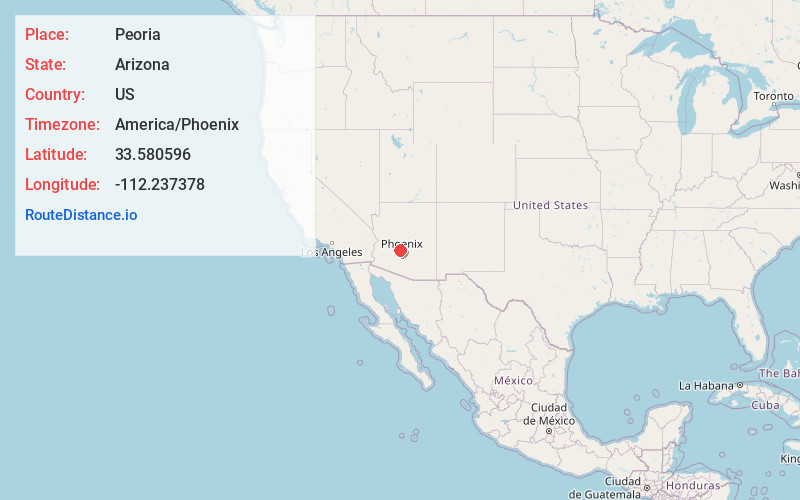
Full AddressPeoria, AZ
-
Coordinates33.5805955, -112.2373779
-
LocationPeoria , Arizona , US
-
TimezoneAmerica/Phoenix
-
Current Local Time12:43:03 AM America/PhoenixWednesday, June 18, 2025
-
Website
-
Page Views0
About Peoria
Peoria is a city in Maricopa and Yavapai counties in the U.S. state of Arizona. Most of the city is located in Maricopa County, while a portion of it in the north is in Yavapai County. It is a major suburb of Phoenix. As of the 2020 census, the population of Peoria was 190,985, up from 154,065 in 2010.


Nearby Places
Found 8 places within 50 miles

Glendale
4.1 mi
6.6 km
Glendale, AZ
Get directions

Surprise
8.2 mi
13.2 km
Surprise, AZ
Get directions

Phoenix
13.0 mi
20.9 km
Phoenix, AZ
Get directions

Scottsdale
19.1 mi
30.7 km
Scottsdale, AZ
Get directions

Tempe
20.2 mi
32.5 km
Tempe, AZ
Get directions

Mesa
26.0 mi
41.8 km
Mesa, AZ
Get directions

Chandler
29.7 mi
47.8 km
Chandler, AZ
Get directions

Gilbert
30.3 mi
48.8 km
Gilbert, AZ
Get directions
Location Links
Local Weather
Weather Information
Coming soon!
Location Map
Static map view of Peoria, Arizona
Browse Places by Distance
Places within specific distances from Peoria
Short Distances
Long Distances
Click any distance to see all places within that range from Peoria. Distances shown in miles (1 mile ≈ 1.61 kilometers).