Distance to Buckeye, Arizona

Calculating Your Route
Just a moment while we process your request...
Location Information
-
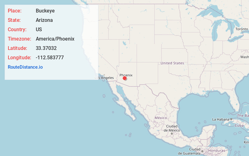
Full AddressBuckeye, AZ
-
Coordinates33.3703197, -112.5837766
-
LocationBuckeye , Arizona , US
-
TimezoneAmerica/Phoenix
-
Current Local Time1:46:57 AM America/PhoenixWednesday, May 28, 2025
-
Website
-
Page Views0
About Buckeye
Buckeye is a city in Maricopa County, Arizona, United States. It is Arizona's second-largest city by area, and it is the westernmost suburb in the Phoenix Metropolitan Area. As of the 2020 census, the population was 91,502, up from 50,876 in 2010, and 6,537 in 2000.


Nearby Places
Found 10 places within 50 miles

Goodyear
13.8 mi
22.2 km
Goodyear, AZ
Get directions

Surprise
21.8 mi
35.1 km
Surprise, AZ
Get directions

Peoria
24.7 mi
39.8 km
Peoria, AZ
Get directions

Glendale
25.7 mi
41.4 km
Glendale, AZ
Get directions

Phoenix
29.7 mi
47.8 km
Phoenix, AZ
Get directions

Tempe
37.3 mi
60.0 km
Tempe, AZ
Get directions

Scottsdale
39.1 mi
62.9 km
Scottsdale, AZ
Get directions

Chandler
43.1 mi
69.4 km
Chandler, AZ
Get directions

Mesa
43.5 mi
70.0 km
Mesa, AZ
Get directions

Gilbert
45.9 mi
73.9 km
Gilbert, AZ
Get directions
Location Links
Local Weather
Weather Information
Coming soon!
Location Map
Static map view of Buckeye, Arizona
Browse Places by Distance
Places within specific distances from Buckeye
Short Distances
Long Distances
Click any distance to see all places within that range from Buckeye. Distances shown in miles (1 mile ≈ 1.61 kilometers).