Distance to and from Angelus, South Carolina
Angelus, SC 29718
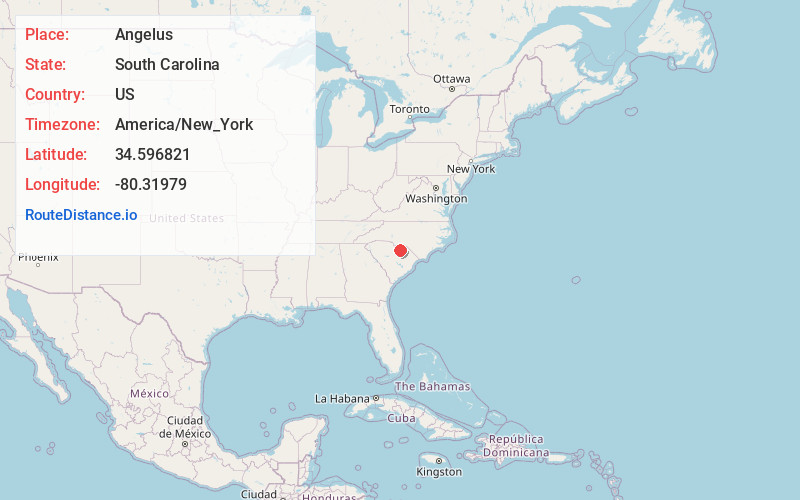
Angelus
South Carolina
US
America/New_York
Location Information
-
Full AddressAngelus, SC 29718
-
Coordinates34.5968208, -80.3197904
-
LocationAngelus , South Carolina , US
-
TimezoneAmerica/New_York
-
Current Local Time5:08:58 PM America/New_YorkSaturday, May 3, 2025
-
Page Views0
Directions to Nearest Cities
Nearby Places
Found 10 places within 50 miles

Jefferson
5.4 mi
8.7 km
Jefferson, SC 29718
Get directions

Minton Mill
8.1 mi
13.0 km
Minton Mill, SC 29009
Get directions

McBee
9.5 mi
15.3 km
McBee, SC 29101
Get directions
Abney Crossroads
12.6 mi
20.3 km
Abney Crossroads, SC 29067
Get directions

Bethune
12.7 mi
20.4 km
Bethune, SC 29009
Get directions

Pageland
12.9 mi
20.8 km
Pageland, SC 29728
Get directions
Ruby
12.9 mi
20.8 km
Ruby, SC 29741
Get directions
Taxahaw
12.9 mi
20.8 km
Taxahaw, SC 29720
Get directions
Mt Croghan
13.0 mi
20.9 km
Mt Croghan, SC 29727
Get directions
White Bluff Crossroads
14.3 mi
23.0 km
White Bluff Crossroads, SC 29067
Get directions
Jefferson
5.4 mi
8.7 km
Jefferson, SC 29718
Minton Mill
8.1 mi
13.0 km
Minton Mill, SC 29009
McBee
9.5 mi
15.3 km
McBee, SC 29101
Abney Crossroads
12.6 mi
20.3 km
Abney Crossroads, SC 29067
Bethune
12.7 mi
20.4 km
Bethune, SC 29009
Pageland
12.9 mi
20.8 km
Pageland, SC 29728
Ruby
12.9 mi
20.8 km
Ruby, SC 29741
Taxahaw
12.9 mi
20.8 km
Taxahaw, SC 29720
Mt Croghan
13.0 mi
20.9 km
Mt Croghan, SC 29727
White Bluff Crossroads
14.3 mi
23.0 km
White Bluff Crossroads, SC 29067
Location Links
Local Weather
Weather Information
Coming soon!
Location Map
Static map view of Angelus, South Carolina
Browse Places by Distance
Places within specific distances from Angelus
Short Distances
Long Distances
Click any distance to see all places within that range from Angelus. Distances shown in miles (1 mile ≈ 1.61 kilometers).