Distance to Jefferson, South Carolina

Calculating Your Route
Just a moment while we process your request...
Location Information
-
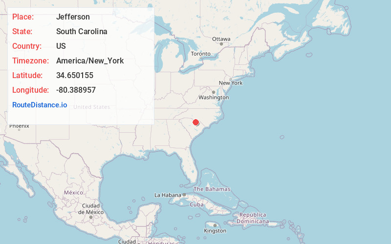
Full AddressJefferson, SC 29718
-
Coordinates34.6501547, -80.3889566
-
LocationJefferson , South Carolina , US
-
TimezoneAmerica/New_York
-
Current Local Time12:38:33 PM America/New_YorkThursday, June 19, 2025
-
Page Views0
About Jefferson
Jefferson is a town in western Chesterfield County, South Carolina, United States at the junction of SC routes 265 and 151. Jefferson is located in the Piedmont region of South Carolina just in the edge meeting the Sandhills region.


Nearby Places
Found 10 places within 50 miles

Pageland
8.5 mi
13.7 km
Pageland, SC 29728
Get directions

Kershaw
13.0 mi
20.9 km
Kershaw, SC 29067
Get directions

McBee
14.6 mi
23.5 km
McBee, SC 29101
Get directions

Chesterfield
18.1 mi
29.1 km
Chesterfield, SC 29709
Get directions

Lancaster
22.2 mi
35.7 km
Lancaster, SC 29720
Get directions

Wingate
23.3 mi
37.5 km
Wingate, NC 28174
Get directions

Marshville
23.4 mi
37.7 km
Marshville, NC
Get directions

Irwin
24.6 mi
39.6 km
Irwin, SC 29720
Get directions

Monroe
24.9 mi
40.1 km
Monroe, NC
Get directions

Jaars
25.1 mi
40.4 km
Jaars, NC 28173
Get directions
Location Links
Local Weather
Weather Information
Coming soon!
Location Map
Static map view of Jefferson, South Carolina
Browse Places by Distance
Places within specific distances from Jefferson
Short Distances
Long Distances
Click any distance to see all places within that range from Jefferson. Distances shown in miles (1 mile ≈ 1.61 kilometers).