Distance to Lancaster, South Carolina

Calculating Your Route
Just a moment while we process your request...
Location Information
-
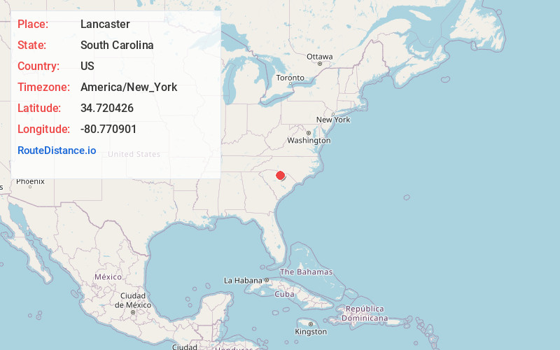
Full AddressLancaster, SC 29720
-
Coordinates34.7204257, -80.7709014
-
LocationLancaster , South Carolina , US
-
TimezoneAmerica/New_York
-
Current Local Time5:31:20 AM America/New_YorkWednesday, June 18, 2025
-
Website
-
Page Views0
About Lancaster
The city of Lancaster is the county seat of Lancaster County, South Carolina, United States, located in the Charlotte Metropolitan Area. As of the United States Census of 2010, the city population was 8,526. The city was named after the famous House of Lancaster.


Nearby Places
Found 10 places within 50 miles

Waxhaw
14.2 mi
22.9 km
Waxhaw, NC 28173
Get directions

Rock Hill
20.3 mi
32.7 km
Rock Hill, SC
Get directions

Wesley Chapel
20.5 mi
33.0 km
Wesley Chapel, NC
Get directions

Weddington
20.9 mi
33.6 km
Weddington, NC
Get directions

Fort Mill
22.2 mi
35.7 km
Fort Mill, SC
Get directions

Monroe
22.2 mi
35.7 km
Monroe, NC
Get directions

Indian Trail
25.3 mi
40.7 km
Indian Trail, NC
Get directions

Tega Cay
25.6 mi
41.2 km
Tega Cay, SC 29708
Get directions

Pineville
26.0 mi
41.8 km
Pineville, NC
Get directions

Stallings
26.0 mi
41.8 km
Stallings, NC
Get directions
Location Links
Local Weather
Weather Information
Coming soon!
Location Map
Static map view of Lancaster, South Carolina
Browse Places by Distance
Places within specific distances from Lancaster
Short Distances
Long Distances
Click any distance to see all places within that range from Lancaster. Distances shown in miles (1 mile ≈ 1.61 kilometers).