Distance to Angier, North Carolina

Calculating Your Route
Just a moment while we process your request...
Location Information
-
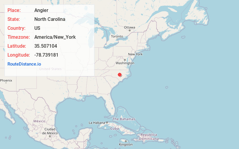
Full AddressAngier, NC
-
Coordinates35.5071044, -78.7391813
-
LocationAngier , North Carolina , US
-
TimezoneAmerica/New_York
-
Current Local Time9:16:52 AM America/New_YorkWednesday, June 18, 2025
-
Website
-
Page Views0
About Angier
Angier is a town in the Black River Township of Harnett County, North Carolina, United States. The population was 4,350 at the 2010 census and estimated as of 2018 to be 5,253. Angier is a part of the greater Raleigh–Durham–Cary Combined Statistical Area as defined by the United States Census Bureau.


Nearby Places
Found 10 places within 50 miles

Fuquay-Varina
6.3 mi
10.1 km
Fuquay-Varina, NC
Get directions

Holly Springs
11.3 mi
18.2 km
Holly Springs, NC
Get directions

Dunn
15.7 mi
25.3 km
Dunn, NC 28334
Get directions

Garner
15.8 mi
25.4 km
Garner, NC
Get directions

Apex
16.8 mi
27.0 km
Apex, NC
Get directions

Anderson Creek
18.4 mi
29.6 km
Anderson Creek, NC
Get directions

Clayton
18.7 mi
30.1 km
Clayton, NC
Get directions

Cary
19.6 mi
31.5 km
Cary, NC
Get directions

Raleigh
19.7 mi
31.7 km
Raleigh, NC
Get directions

Morrisville
22.4 mi
36.0 km
Morrisville, NC
Get directions
Location Links
Local Weather
Weather Information
Coming soon!
Location Map
Static map view of Angier, North Carolina
Browse Places by Distance
Places within specific distances from Angier
Short Distances
Long Distances
Click any distance to see all places within that range from Angier. Distances shown in miles (1 mile ≈ 1.61 kilometers).