Distance to Angwin, California

Calculating Your Route
Just a moment while we process your request...
Location Information
-
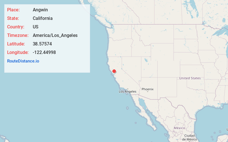
Full AddressAngwin, CA 94508
-
Coordinates38.5757402, -122.4499796
-
LocationAngwin , California , US
-
TimezoneAmerica/Los_Angeles
-
Current Local Time8:31:13 AM America/Los_AngelesMonday, June 16, 2025
-
Page Views0
About Angwin
Angwin is a census-designated place in Napa County, California, best known as the site of Pacific Union College. It is part of the northern San Francisco Bay Area. The population was 2,633 at the 2020 census. Its area code is 707. Its two ZIP codes are 94508 and 94576. It is in the Pacific time zone.


Nearby Places
Found 10 places within 50 miles

St Helena
5.0 mi
8.0 km
St Helena, CA
Get directions

Calistoga
7.0 mi
11.3 km
Calistoga, CA 94515
Get directions

Yountville
13.0 mi
20.9 km
Yountville, CA
Get directions

Santa Rosa
17.1 mi
27.5 km
Santa Rosa, CA
Get directions

Hidden Valley Lake
17.1 mi
27.5 km
Hidden Valley Lake, CA
Get directions

Larkfield-Wikiup
17.2 mi
27.7 km
Larkfield-Wikiup, CA
Get directions

Fetters Hot Springs-Agua Caliente
17.6 mi
28.3 km
Fetters Hot Springs-Agua Caliente, CA 95476
Get directions

Boyes Hot Springs
18.2 mi
29.3 km
Boyes Hot Springs, CA 95476
Get directions
El Verano
19.3 mi
31.1 km
El Verano, CA 95476
Get directions

Sonoma
19.6 mi
31.5 km
Sonoma, CA 95476
Get directions
Location Links
Local Weather
Weather Information
Coming soon!
Location Map
Static map view of Angwin, California
Browse Places by Distance
Places within specific distances from Angwin
Short Distances
Long Distances
Click any distance to see all places within that range from Angwin. Distances shown in miles (1 mile ≈ 1.61 kilometers).