Distance to and from Anna Maria Island, Florida
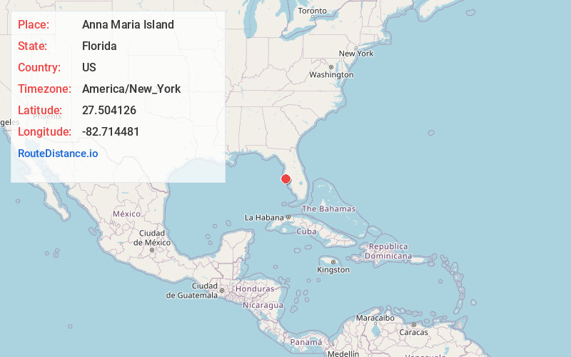
Anna Maria Island, Florida
Florida
US
America/New_York
Location Information
-
Full AddressAnna Maria Island, Florida
-
Coordinates27.5041264, -82.7144811
-
LocationFlorida , US
-
TimezoneAmerica/New_York
-
Current Local Time1:32:44 PM America/New_YorkSaturday, May 3, 2025
-
Page Views1
Directions to Nearest Cities
About Anna Maria Island
Barrier island with wide beaches, aqua water & a 1911 wooden pier, plus shops, cafes & galleries.


Nearby Places
Found 10 places within 50 miles
Holmes Beach
0.6 mi
1.0 km
Holmes Beach, FL 34217
Get directions

Cortez
3.0 mi
4.8 km
Cortez, FL
Get directions

West Bradenton
6.2 mi
10.0 km
West Bradenton, FL
Get directions

Longboat Key
7.2 mi
11.6 km
Longboat Key, FL
Get directions

South Bradenton
8.6 mi
13.8 km
South Bradenton, FL
Get directions

Bradenton
8.7 mi
14.0 km
Bradenton, FL
Get directions

Palmetto
8.8 mi
14.2 km
Palmetto, FL
Get directions

Bayshore Gardens
9.4 mi
15.1 km
Bayshore Gardens, FL
Get directions
Memphis
9.6 mi
15.4 km
Memphis, FL
Get directions
West Samoset
10.0 mi
16.1 km
West Samoset, FL
Get directions
Holmes Beach
0.6 mi
1.0 km
Holmes Beach, FL 34217
Cortez
3.0 mi
4.8 km
Cortez, FL
West Bradenton
6.2 mi
10.0 km
West Bradenton, FL
Longboat Key
7.2 mi
11.6 km
Longboat Key, FL
South Bradenton
8.6 mi
13.8 km
South Bradenton, FL
Bradenton
8.7 mi
14.0 km
Bradenton, FL
Palmetto
8.8 mi
14.2 km
Palmetto, FL
Bayshore Gardens
9.4 mi
15.1 km
Bayshore Gardens, FL
Memphis
9.6 mi
15.4 km
Memphis, FL
West Samoset
10.0 mi
16.1 km
West Samoset, FL
Location Links
Local Weather
Weather Information
Coming soon!
Location Map
Static map view of Anna Maria Island, Florida
Browse Places by Distance
Places within specific distances from Anna Maria Island
Short Distances
Long Distances
Click any distance to see all places within that range from Anna Maria Island. Distances shown in miles (1 mile ≈ 1.61 kilometers).