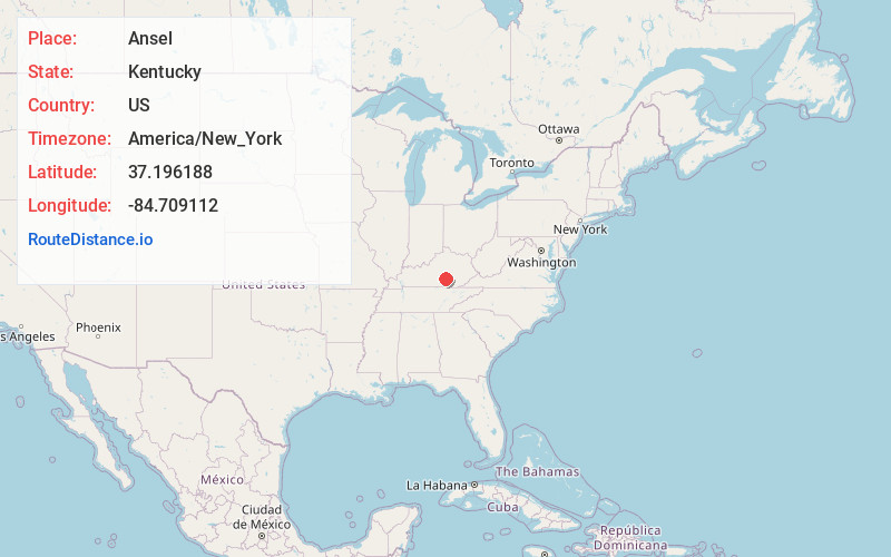
Distance to Ansel, Kentucky

Calculating Your Route
Just a moment while we process your request...
Location Information
-
Full AddressAnsel, KY 42553
-
Coordinates37.1961878, -84.7091116
-
LocationAnsel , Kentucky , US
-
TimezoneAmerica/New_York
-
Current Local Time10:53:27 PM America/New_YorkSaturday, June 7, 2025
-
Page Views0
Nearby Places
Found 10 places within 50 miles

Hogue
2.3 mi
3.7 km
Hogue, KY 42553
Get directions

Kingbee
3.3 mi
5.3 km
Kingbee, KY 42553
Get directions
Ware
3.4 mi
5.5 km
Ware, KY 42539
Get directions
Bethelridge
3.7 mi
6.0 km
Bethelridge, KY 42516
Get directions
Mangum
3.8 mi
6.1 km
Mangum, KY 42553
Get directions
Pulaski
4.0 mi
6.4 km
Pulaski, KY 42567
Get directions

Science Hill
4.2 mi
6.8 km
Science Hill, KY
Get directions
Mintonville
5.7 mi
9.2 km
Mintonville, KY 42516
Get directions
Argyle
5.8 mi
9.3 km
Argyle, KY 42539
Get directions
Oil Center
6.2 mi
10.0 km
Oil Center, KY 42553
Get directions
Location Links
Local Weather
Weather Information
Coming soon!
Location Map
Static map view of Ansel, Kentucky
Browse Places by Distance
Places within specific distances from Ansel
Short Distances
Long Distances
Click any distance to see all places within that range from Ansel. Distances shown in miles (1 mile ≈ 1.61 kilometers).