Distance to Argyle, Kentucky

Calculating Your Route
Just a moment while we process your request...
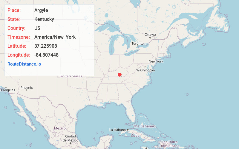
Location Information
-
Full AddressArgyle, KY 42539
-
Coordinates37.2259084, -84.8074481
-
LocationArgyle , Kentucky , US
-
TimezoneAmerica/New_York
-
Current Local Time2:24:36 PM America/New_YorkTuesday, July 1, 2025
-
Page Views0
About Argyle
Argyle is an unincorporated community in Casey County, Kentucky, United States. It's post office is no longer in service.
Nearby Places
Found 10 places within 50 miles

Bethelridge
2.8 mi
4.5 km
Bethelridge, KY 42516
Get directions
Mintonville
3.4 mi
5.5 km
Mintonville, KY 42516
Get directions
Mangum
4.1 mi
6.6 km
Mangum, KY 42553
Get directions

Kingbee
6.2 mi
10.0 km
Kingbee, KY 42553
Get directions
Cantown
6.3 mi
10.1 km
Cantown, KY 42539
Get directions
Hogue
6.9 mi
11.1 km
Hogue, KY 42553
Get directions
Walltown
7.9 mi
12.7 km
Walltown, KY 40442
Get directions

Casey County
8.0 mi
12.9 km
Casey County, KY
Get directions
Phil
8.0 mi
12.9 km
Phil, KY 42539
Get directions

Yosemite
8.4 mi
13.5 km
Yosemite, KY
Get directions
Location Links
Local Weather
Weather Information
Coming soon!
Location Map
Static map view of Argyle, Kentucky
Browse Places by Distance
Places within specific distances from Argyle
Short Distances
Long Distances
Click any distance to see all places within that range from Argyle. Distances shown in miles (1 mile ≈ 1.61 kilometers).