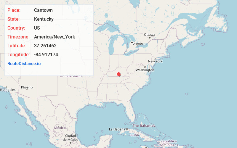
Distance to Cantown, Kentucky

Calculating Your Route
Just a moment while we process your request...
Location Information
-
Full AddressCantown, KY 42539
-
Coordinates37.2614621, -84.9121743
-
LocationKentucky , US
-
TimezoneAmerica/New_York
-
Current Local Time11:58:27 PM America/New_YorkSunday, June 1, 2025
-
Page Views0
About Cantown
Cantown is an unincorporated community in Casey County, Kentucky, United States. It was also known as Contown.
Nearby Places
Found 10 places within 50 miles

Casey County
3.8 mi
6.1 km
Casey County, KY
Get directions

Liberty
4.2 mi
6.8 km
Liberty, KY 42539
Get directions

Evans Ford
4.5 mi
7.2 km
Evans Ford, KY 42539
Get directions
Barnett Springs
9.9 mi
15.9 km
Barnett Springs, KY 42728
Get directions
Pellyton
10.1 mi
16.3 km
Pellyton, KY 42728
Get directions
Sycamore Flat
11.9 mi
19.2 km
Sycamore Flat, KY 42642
Get directions

Kingbee
12.1 mi
19.5 km
Kingbee, KY 42553
Get directions
Duncan
12.2 mi
19.6 km
Duncan, KY 42541
Get directions
Casey Creek
13.5 mi
21.7 km
Casey Creek, KY 42728
Get directions

Eubank
14.0 mi
22.5 km
Eubank, KY 42567
Get directions
Location Links
Local Weather
Weather Information
Coming soon!
Location Map
Static map view of Cantown, Kentucky
Browse Places by Distance
Places within specific distances from Cantown
Short Distances
Long Distances
Click any distance to see all places within that range from Cantown. Distances shown in miles (1 mile ≈ 1.61 kilometers).