Distance to Duncan, Kentucky

Calculating Your Route
Just a moment while we process your request...
Location Information
-
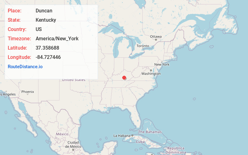
Full AddressDuncan, KY 42541
-
Coordinates37.3586882, -84.7274458
-
LocationKentucky , US
-
TimezoneAmerica/New_York
-
Current Local Time11:20:28 PM America/New_YorkThursday, June 19, 2025
-
Page Views0
Nearby Places
Found 10 places within 50 miles

Eubank
6.7 mi
10.8 km
Eubank, KY 42567
Get directions

McKinney
6.9 mi
11.1 km
McKinney, KY
Get directions
Goochtown
8.1 mi
13.0 km
Goochtown, KY 42567
Get directions

Hustonville
9.3 mi
15.0 km
Hustonville, KY
Get directions

Casey County
9.9 mi
15.9 km
Casey County, KY
Get directions
Boneyville
10.3 mi
16.6 km
Boneyville, KY 40484
Get directions
Maywood
10.4 mi
16.7 km
Maywood, KY 40484
Get directions

Liberty
12.0 mi
19.3 km
Liberty, KY 42539
Get directions
Etna
12.2 mi
19.6 km
Etna, KY 42567
Get directions

Stanford
12.5 mi
20.1 km
Stanford, KY 40484
Get directions
Location Links
Local Weather
Weather Information
Coming soon!
Location Map
Static map view of Duncan, Kentucky
Browse Places by Distance
Places within specific distances from Duncan
Short Distances
Long Distances
Click any distance to see all places within that range from Duncan. Distances shown in miles (1 mile ≈ 1.61 kilometers).