Distance to Hustonville, Kentucky

Calculating Your Route
Just a moment while we process your request...
Location Information
-
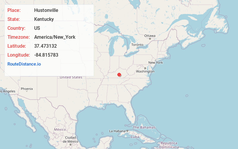
Full AddressHustonville, KY
-
Coordinates37.4731315, -84.8157827
-
LocationHustonville , Kentucky , US
-
TimezoneAmerica/New_York
-
Current Local Time12:43:23 PM America/New_YorkSunday, June 15, 2025
-
Page Views0
About Hustonville
Hustonville is a home rule-class city in Lincoln County, Kentucky, in the United States. The population was 405 at the 2010 census. It is part of the Danville Micropolitan Statistical Area.


Nearby Places
Found 10 places within 50 miles

Junction City
7.8 mi
12.6 km
Junction City, KY
Get directions

Stanford
9.3 mi
15.0 km
Stanford, KY 40484
Get directions

Danville
12.2 mi
19.6 km
Danville, KY
Get directions

Liberty
12.7 mi
20.4 km
Liberty, KY 42539
Get directions

Perryville
14.3 mi
23.0 km
Perryville, KY 40468
Get directions

Lancaster
16.5 mi
26.6 km
Lancaster, KY 40444
Get directions

Crab Orchard
17.0 mi
27.4 km
Crab Orchard, KY 40419
Get directions

Burgin
19.5 mi
31.4 km
Burgin, KY 40330
Get directions

Harrodsburg
20.0 mi
32.2 km
Harrodsburg, KY 40330
Get directions

Brodhead
22.6 mi
36.4 km
Brodhead, KY
Get directions
Location Links
Local Weather
Weather Information
Coming soon!
Location Map
Static map view of Hustonville, Kentucky
Browse Places by Distance
Places within specific distances from Hustonville
Short Distances
Long Distances
Click any distance to see all places within that range from Hustonville. Distances shown in miles (1 mile ≈ 1.61 kilometers).