Distance to McKinney, Kentucky

Calculating Your Route
Just a moment while we process your request...
Location Information
-
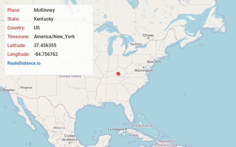
Full AddressMcKinney, KY
-
Coordinates37.4563549, -84.7567623
-
LocationMcKinney , Kentucky , US
-
TimezoneAmerica/New_York
-
Current Local Time4:31:19 PM America/New_YorkThursday, June 19, 2025
-
Page Views0
About McKinney
McKinney is a census-designated place in Lincoln County in south-central Kentucky. McKinney is located along Kentucky Route 198 and the Norfolk Southern Railway, 8.6 miles southwest of Stanford. McKinney has a post office with ZIP code 40448. Its population was estimated to be 135 between 2014 and 2018.
Nearby Places
Found 10 places within 50 miles

Hustonville
3.4 mi
5.5 km
Hustonville, KY
Get directions

Stanford
7.3 mi
11.7 km
Stanford, KY 40484
Get directions

Junction City
8.9 mi
14.3 km
Junction City, KY
Get directions

Danville
13.1 mi
21.1 km
Danville, KY
Get directions

Eubank
13.4 mi
21.6 km
Eubank, KY 42567
Get directions

Crab Orchard
13.7 mi
22.0 km
Crab Orchard, KY 40419
Get directions

Liberty
13.8 mi
22.2 km
Liberty, KY 42539
Get directions

Lancaster
14.9 mi
24.0 km
Lancaster, KY 40444
Get directions

Perryville
17.1 mi
27.5 km
Perryville, KY 40468
Get directions

Brodhead
19.2 mi
30.9 km
Brodhead, KY
Get directions
Location Links
Local Weather
Weather Information
Coming soon!
Location Map
Static map view of McKinney, Kentucky
Browse Places by Distance
Places within specific distances from McKinney
Short Distances
Long Distances
Click any distance to see all places within that range from McKinney. Distances shown in miles (1 mile ≈ 1.61 kilometers).