Distance to Casey County, Kentucky

Calculating Your Route
Just a moment while we process your request...
Location Information
-
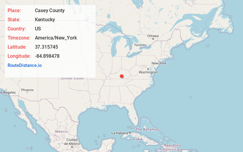
Full AddressCasey County, KY
-
Coordinates37.3157449, -84.8984775
-
LocationKentucky , US
-
TimezoneAmerica/New_York
-
Current Local Time7:20:47 PM America/New_YorkWednesday, July 2, 2025
-
Page Views0
About Casey County
Casey County is a county located in the U.S. Commonwealth of Kentucky. As of the 2020 census, the population was 15,941. Its county seat is Liberty. The county was formed in 1806 from the western part of Lincoln County and named for Colonel William Casey, a pioneer settler who moved his family to Kentucky in 1779.


Nearby Places
Found 10 places within 50 miles

Liberty
2.3 mi
3.7 km
Liberty, KY 42539
Get directions

Barnett Springs
11.7 mi
18.8 km
Barnett Springs, KY 42728
Get directions

Hustonville
11.8 mi
19.0 km
Hustonville, KY
Get directions
McKinney
12.4 mi
20.0 km
McKinney, KY
Get directions

Eubank
13.4 mi
21.6 km
Eubank, KY 42567
Get directions

Kingbee
14.2 mi
22.9 km
Kingbee, KY 42553
Get directions
Merrimac
14.3 mi
23.0 km
Merrimac, KY 40009
Get directions
Goochtown
17.1 mi
27.5 km
Goochtown, KY 42567
Get directions

Science Hill
17.3 mi
27.8 km
Science Hill, KY
Get directions
Faubush
17.7 mi
28.5 km
Faubush, KY 42544
Get directions
Location Links
Local Weather
Weather Information
Coming soon!
Location Map
Static map view of Casey County, Kentucky
Browse Places by Distance
Places within specific distances from Casey County
Short Distances
Long Distances
Click any distance to see all places within that range from Casey County. Distances shown in miles (1 mile ≈ 1.61 kilometers).