Distance to Antebellum Plateau, Georgia

Calculating Your Route
Just a moment while we process your request...
Location Information
-
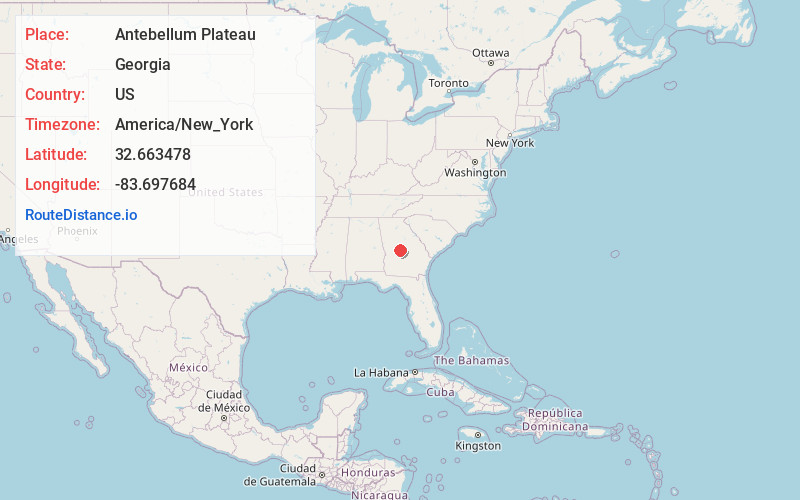
Full AddressAntebellum Plateau, GA 31093
-
Coordinates32.6634775, -83.6976842
-
LocationAntebellum Plateau , Georgia , US
-
TimezoneAmerica/New_York
-
Current Local Time2:25:49 AM America/New_YorkSunday, June 1, 2025
-
Page Views0
Nearby Places
Found 10 places within 50 miles

Echeconnee
1.5 mi
2.4 km
Echeconnee, GA 31008
Get directions

Centerville
2.4 mi
3.9 km
Centerville, GA
Get directions
Walden
3.6 mi
5.8 km
Walden, GA 31216
Get directions

Byron
3.7 mi
6.0 km
Byron, GA 31008
Get directions
Sofkee
4.9 mi
7.9 km
Sofkee, GA 31216
Get directions

Warner Robins
5.5 mi
8.9 km
Warner Robins, GA
Get directions
Skipperton
5.6 mi
9.0 km
Skipperton, GA 31216
Get directions
Rutland
5.9 mi
9.5 km
Rutland, GA 31216
Get directions

Robins AFB
6.4 mi
10.3 km
Robins AFB, GA 31098
Get directions
Angels Acres
8.2 mi
13.2 km
Angels Acres, GA 31052
Get directions
Location Links
Local Weather
Weather Information
Coming soon!
Location Map
Static map view of Antebellum Plateau, Georgia
Browse Places by Distance
Places within specific distances from Antebellum Plateau
Short Distances
Long Distances
Click any distance to see all places within that range from Antebellum Plateau. Distances shown in miles (1 mile ≈ 1.61 kilometers).