Distance to Apalachicola, Florida

Calculating Your Route
Just a moment while we process your request...
Location Information
-
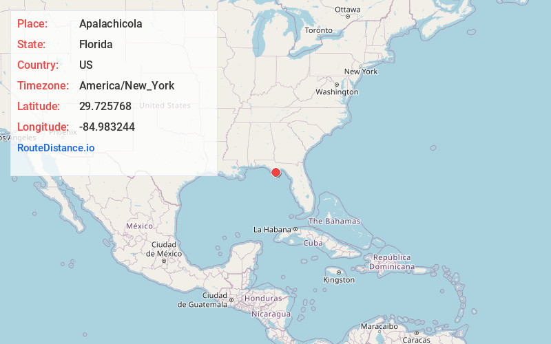
Full AddressApalachicola, FL 32320
-
Coordinates29.7257675, -84.9832435
-
LocationApalachicola , Florida , US
-
TimezoneAmerica/New_York
-
Current Local Time3:37:45 AM America/New_YorkWednesday, June 18, 2025
-
Page Views0
About Apalachicola
Apalachicola is a city and the county seat of Franklin County, Florida, United States, on the shore of Apalachicola Bay, an inlet of the Gulf of Mexico. The population was 2,341 at the 2020 census.


Nearby Places
Found 8 places within 50 miles

Eastpoint
5.8 mi
9.3 km
Eastpoint, FL 32328
Get directions

Port St Joe
20.1 mi
32.3 km
Port St Joe, FL 32456
Get directions

Carrabelle
21.1 mi
34.0 km
Carrabelle, FL 32322
Get directions

Callaway
45.8 mi
73.7 km
Callaway, FL 32404
Get directions

Parker
46.5 mi
74.8 km
Parker, FL 32404
Get directions

Springfield
47.8 mi
76.9 km
Springfield, FL
Get directions

Crawfordville
48.9 mi
78.7 km
Crawfordville, FL 32327
Get directions

Blountstown
49.7 mi
80.0 km
Blountstown, FL 32424
Get directions
Location Links
Local Weather
Weather Information
Coming soon!
Location Map
Static map view of Apalachicola, Florida
Browse Places by Distance
Places within specific distances from Apalachicola
Short Distances
Long Distances
Click any distance to see all places within that range from Apalachicola. Distances shown in miles (1 mile ≈ 1.61 kilometers).