Distance to Appleton, Illinois

Calculating Your Route
Just a moment while we process your request...
Location Information
-
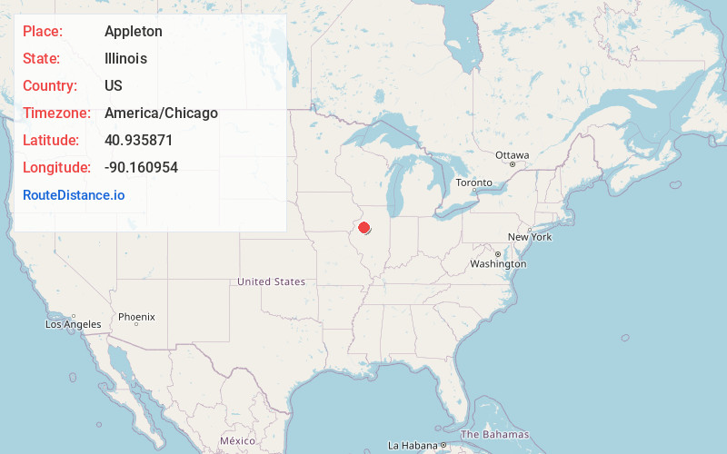
Full AddressAppleton, IL 61428
-
Coordinates40.9358711, -90.1609536
-
LocationAppleton , Illinois , US
-
TimezoneAmerica/Chicago
-
Current Local Time12:56:55 AM America/ChicagoSaturday, June 21, 2025
-
Page Views0
About Appleton
Appleton is a ghost town in Persifer Township, Knox County, Illinois, United States. Appleton lies approximately one mile north of U.S. Highway 150 and Interstate 74. Knox County Highway 12 runs from north to south through Appleton and the tracks of the BNSF Railway run east to west.
Nearby Places
Found 10 places within 50 miles

Oak Run
2.1 mi
3.4 km
Oak Run, IL 61428
Get directions

Dahinda
2.8 mi
4.5 km
Dahinda, IL 61428
Get directions

Gilson
5.5 mi
8.9 km
Gilson, IL 61436
Get directions
Knoxville
6.7 mi
10.8 km
Knoxville, IL
Get directions

Victoria
7.5 mi
12.1 km
Victoria, IL 61485
Get directions
Williamsfield
7.7 mi
12.4 km
Williamsfield, IL 61489
Get directions

East Galesburg
7.8 mi
12.6 km
East Galesburg, IL
Get directions
Wataga
8.8 mi
14.2 km
Wataga, IL 61488
Get directions

Maquon
9.5 mi
15.3 km
Maquon, IL 61458
Get directions
Elmore
9.7 mi
15.6 km
Elmore, IL 61451
Get directions
Location Links
Local Weather
Weather Information
Coming soon!
Location Map
Static map view of Appleton, Illinois
Browse Places by Distance
Places within specific distances from Appleton
Short Distances
Long Distances
Click any distance to see all places within that range from Appleton. Distances shown in miles (1 mile ≈ 1.61 kilometers).