Distance to and from Applewood, Colorado
Applewood, Lakewood, CO
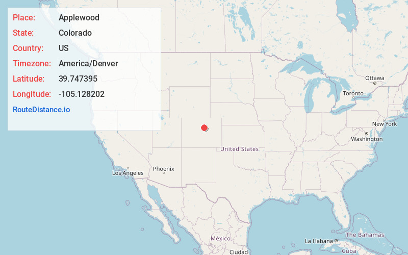
Lakewood
Colorado
US
America/Denver
Location Information
-
Full AddressApplewood, Lakewood, CO
-
Coordinates39.7473954, -105.128202
-
NeighborhoodApplewood
-
LocationLakewood , Colorado , US
-
TimezoneAmerica/Denver
-
Current Local Time12:13:50 PM America/DenverSaturday, May 3, 2025
-
Page Views0
Directions to Nearest Cities
About Applewood
Applewood is an unincorporated community and a census-designated place located in Jefferson County, Colorado, United States. The CDP is a part of the Denver–Aurora–Lakewood, CO Metropolitan Statistical Area. The population of the Applewood CDP was 7,833 at the 2020 United States census.
Nearby Places
Found 10 places within 50 miles

Wheat Ridge
3.0 mi
4.8 km
Wheat Ridge, CO
Get directions

Lakewood
3.9 mi
6.3 km
Lakewood, CO
Get directions

Arvada
4.4 mi
7.1 km
Arvada, CO
Get directions

Golden
5.0 mi
8.0 km
Golden, CO
Get directions

Berkley
7.1 mi
11.4 km
Berkley, CO
Get directions

Denver
7.4 mi
11.9 km
Denver, CO
Get directions

Westminster
7.8 mi
12.6 km
Westminster, CO
Get directions
Sherrelwood
9.2 mi
14.8 km
Sherrelwood, CO
Get directions

Federal Heights
9.8 mi
15.8 km
Federal Heights, CO
Get directions

Englewood
10.2 mi
16.4 km
Englewood, CO
Get directions
Wheat Ridge
3.0 mi
4.8 km
Wheat Ridge, CO
Lakewood
3.9 mi
6.3 km
Lakewood, CO
Arvada
4.4 mi
7.1 km
Arvada, CO
Golden
5.0 mi
8.0 km
Golden, CO
Berkley
7.1 mi
11.4 km
Berkley, CO
Denver
7.4 mi
11.9 km
Denver, CO
Westminster
7.8 mi
12.6 km
Westminster, CO
Sherrelwood
9.2 mi
14.8 km
Sherrelwood, CO
Federal Heights
9.8 mi
15.8 km
Federal Heights, CO
Englewood
10.2 mi
16.4 km
Englewood, CO
Location Links
Local Weather
Weather Information
Coming soon!
Location Map
Static map view of Applewood, Colorado
Browse Places by Distance
Places within specific distances from Applewood
Short Distances
Long Distances
Click any distance to see all places within that range from Applewood. Distances shown in miles (1 mile ≈ 1.61 kilometers).