Distance to Arabela, New Mexico

Calculating Your Route
Just a moment while we process your request...
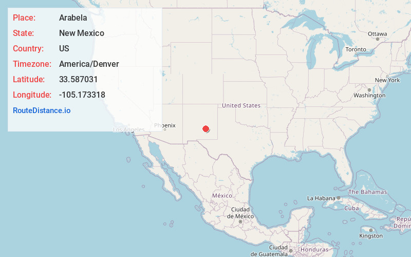
Location Information
-
Full AddressArabela, NM 88351
-
Coordinates33.5870308, -105.173318
-
LocationArabela , New Mexico , US
-
TimezoneAmerica/Denver
-
Current Local Time7:09:47 AM America/DenverMonday, June 2, 2025
-
Page Views0
About Arabela
Arabela is an unincorporated community located in Lincoln County, New Mexico, United States. Arabela is located in a rural part of eastern Lincoln County, 23.2 miles east of Capitan.


Nearby Places
Found 10 places within 50 miles

Pine Lodge
4.8 mi
7.7 km
Pine Lodge, NM 88316
Get directions

Lincoln
13.8 mi
22.2 km
Lincoln, NM 88338
Get directions

Tinnie
15.3 mi
24.6 km
Tinnie, NM 88343
Get directions

Picacho
16.3 mi
26.2 km
Picacho, NM 88343
Get directions

Capitan
23.1 mi
37.2 km
Capitan, NM 88316
Get directions
Coalora
24.4 mi
39.3 km
Coalora, NM 88316
Get directions
Diamante Mill
26.3 mi
42.3 km
Diamante Mill, NM 88203
Get directions
Reventon
30.4 mi
48.9 km
Reventon, NM 88301
Get directions

Ruidoso Downs
30.6 mi
49.2 km
Ruidoso Downs, NM 88346
Get directions
Center Mill
31.5 mi
50.7 km
Center Mill, NM 88203
Get directions
Location Links
Local Weather
Weather Information
Coming soon!
Location Map
Static map view of Arabela, New Mexico
Browse Places by Distance
Places within specific distances from Arabela
Short Distances
Long Distances
Click any distance to see all places within that range from Arabela. Distances shown in miles (1 mile ≈ 1.61 kilometers).