Distance to Tinnie, New Mexico

Calculating Your Route
Just a moment while we process your request...
Location Information
-
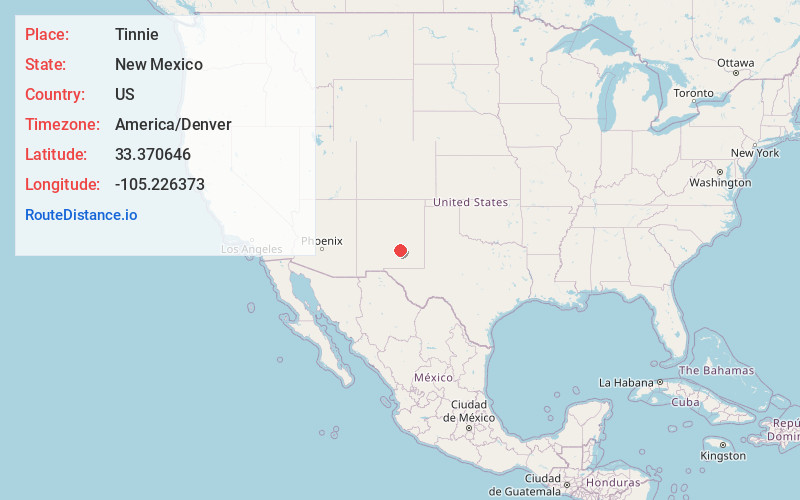
Full AddressTinnie, NM 88343
-
Coordinates33.3706458, -105.2263727
-
LocationTinnie , New Mexico , US
-
TimezoneAmerica/Denver
-
Current Local Time9:46:14 PM America/DenverFriday, May 30, 2025
-
Page Views0
About Tinnie
Tinnie is an unincorporated community located in Lincoln County, New Mexico, United States. The community is located on U.S. Route 70, 22 miles east of Ruidoso Downs. Tinnie has a post office with ZIP code 88351.


Nearby Places
Found 10 places within 50 miles

Ruidoso Downs
22.0 mi
35.4 km
Ruidoso Downs, NM 88346
Get directions

Capitan
23.3 mi
37.5 km
Capitan, NM 88316
Get directions

Ruidoso
26.4 mi
42.5 km
Ruidoso, NM
Get directions

Sun Valley
26.5 mi
42.6 km
Sun Valley, NM 88312
Get directions
Villa Madonna
28.9 mi
46.5 km
Villa Madonna, NM 88312
Get directions
Elk
30.2 mi
48.6 km
Elk, NM 88339
Get directions

Sacramento Mountains
34.7 mi
55.8 km
Sacramento Mountains, New Mexico 88340
Get directions

Mescalero
34.9 mi
56.2 km
Mescalero, NM 88340
Get directions

Mayhill
36.3 mi
58.4 km
Mayhill, NM 88339
Get directions
Twin Forks
37.5 mi
60.4 km
Twin Forks, NM
Get directions
Location Links
Local Weather
Weather Information
Coming soon!
Location Map
Static map view of Tinnie, New Mexico
Browse Places by Distance
Places within specific distances from Tinnie
Short Distances
Long Distances
Click any distance to see all places within that range from Tinnie. Distances shown in miles (1 mile ≈ 1.61 kilometers).