Distance to Mayhill, New Mexico

Calculating Your Route
Just a moment while we process your request...
Location Information
-
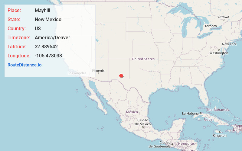
Full AddressMayhill, NM 88339
-
Coordinates32.8895419, -105.4780381
-
LocationMayhill , New Mexico , US
-
TimezoneAmerica/Denver
-
Current Local Time11:45:57 AM America/DenverWednesday, June 18, 2025
-
Page Views0
About Mayhill
Mayhill is an unincorporated community in Otero County, New Mexico, United States. It is surrounded by the Lincoln National Forest on the eastern slope of the Sacramento Mountains, at the confluence of James Canyon and Rio Penasco, approximately 17 miles east of Cloudcroft.


Nearby Places
Found 10 places within 50 miles

Twin Forks
9.7 mi
15.6 km
Twin Forks, NM
Get directions

Cloudcroft
16.0 mi
25.7 km
Cloudcroft, NM 88317
Get directions

High Rolls
21.2 mi
34.1 km
High Rolls, NM
Get directions

Timberon
22.4 mi
36.0 km
Timberon, NM 88350
Get directions

Mescalero
25.2 mi
40.6 km
Mescalero, NM 88340
Get directions

Alamogordo
28.0 mi
45.1 km
Alamogordo, NM 88310
Get directions

Boles Acres
29.8 mi
48.0 km
Boles Acres, NM 88310
Get directions

Ruidoso Downs
31.2 mi
50.2 km
Ruidoso Downs, NM 88346
Get directions

Ruidoso
32.9 mi
52.9 km
Ruidoso, NM
Get directions

Tularosa
33.8 mi
54.4 km
Tularosa, NM 88352
Get directions
Location Links
Local Weather
Weather Information
Coming soon!
Location Map
Static map view of Mayhill, New Mexico
Browse Places by Distance
Places within specific distances from Mayhill
Short Distances
Long Distances
Click any distance to see all places within that range from Mayhill. Distances shown in miles (1 mile ≈ 1.61 kilometers).