Distance to High Rolls, New Mexico

Calculating Your Route
Just a moment while we process your request...
Location Information
-
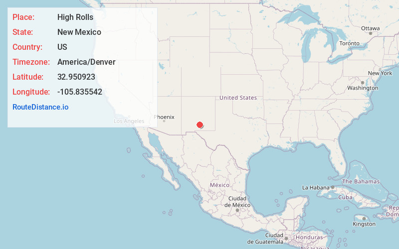
Full AddressHigh Rolls, NM
-
Coordinates32.950923, -105.8355422
-
LocationHigh Rolls , New Mexico , US
-
TimezoneAmerica/Denver
-
Current Local Time8:05:10 PM America/DenverWednesday, June 18, 2025
-
Page Views0
About High Rolls
High Rolls is an unincorporated community and census-designated place in Otero County, New Mexico, United States. It is nestled within the Lincoln National Forest at the southernmost tip of the Sacramento Mountains.


Nearby Places
Found 6 places within 50 miles

Alamogordo
8.0 mi
12.9 km
Alamogordo, NM 88310
Get directions

Boles Acres
13.1 mi
21.1 km
Boles Acres, NM 88310
Get directions

Tularosa
13.6 mi
21.9 km
Tularosa, NM 88352
Get directions

Holloman AFB
17.0 mi
27.4 km
Holloman AFB, NM 88330
Get directions

Ruidoso
27.9 mi
44.9 km
Ruidoso, NM
Get directions

Ruidoso Downs
29.3 mi
47.2 km
Ruidoso Downs, NM 88346
Get directions
Location Links
Local Weather
Weather Information
Coming soon!
Location Map
Static map view of High Rolls, New Mexico
Browse Places by Distance
Places within specific distances from High Rolls
Short Distances
Long Distances
Click any distance to see all places within that range from High Rolls. Distances shown in miles (1 mile ≈ 1.61 kilometers).