Distance to Timberon, New Mexico

Calculating Your Route
Just a moment while we process your request...
Location Information
-
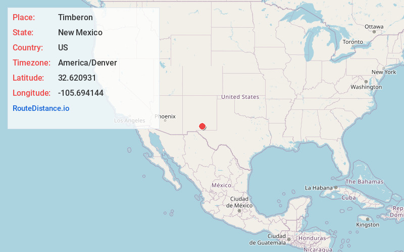
Full AddressTimberon, NM 88350
-
Coordinates32.6209314, -105.6941444
-
LocationTimberon , New Mexico , US
-
TimezoneAmerica/Denver
-
Current Local Time2:37:42 AM America/DenverSunday, June 22, 2025
-
Page Views0
About Timberon
Timberon is a census-designated place in Otero County, New Mexico, United States, and is within the Sacramento Mountains at the southern edge of the Lincoln National Forest. The population was 345 at the 2020 census.


Nearby Places
Found 10 places within 50 miles

Boles Acres
21.1 mi
34.0 km
Boles Acres, NM 88310
Get directions

Twin Forks
22.8 mi
36.7 km
Twin Forks, NM
Get directions

Cloudcroft
23.4 mi
37.7 km
Cloudcroft, NM 88317
Get directions

High Rolls
24.2 mi
38.9 km
High Rolls, NM
Get directions

Alamogordo
24.8 mi
39.9 km
Alamogordo, NM 88310
Get directions

Holloman AFB
28.1 mi
45.2 km
Holloman AFB, NM 88330
Get directions

Tularosa
36.5 mi
58.7 km
Tularosa, NM 88352
Get directions

Mescalero
37.4 mi
60.2 km
Mescalero, NM 88340
Get directions

White Sands National Park
38.5 mi
62.0 km
White Sands National Park, New Mexico
Get directions

Ruidoso Downs
49.2 mi
79.2 km
Ruidoso Downs, NM 88346
Get directions
Location Links
Local Weather
Weather Information
Coming soon!
Location Map
Static map view of Timberon, New Mexico
Browse Places by Distance
Places within specific distances from Timberon
Short Distances
Long Distances
Click any distance to see all places within that range from Timberon. Distances shown in miles (1 mile ≈ 1.61 kilometers).