Distance to Cloudcroft, New Mexico

Calculating Your Route
Just a moment while we process your request...
Location Information
-
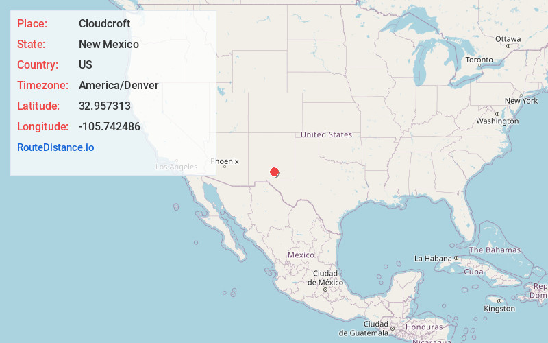
Full AddressCloudcroft, NM 88317
-
Coordinates32.9573133, -105.7424855
-
LocationCloudcroft , New Mexico , US
-
TimezoneAmerica/Denver
-
Current Local Time3:02:43 PM America/DenverWednesday, June 18, 2025
-
Page Views0
About Cloudcroft
Cloudcroft is a village in Otero County, New Mexico, United States, and is located within the Lincoln National Forest. The population was 750 at the 2020 census.
Its high elevation of 8,676 feet allows for a mild summer, and the forested mountains make it a tourist attraction for the surrounding deserts.


Nearby Places
Found 10 places within 50 miles

High Rolls
5.4 mi
8.7 km
High Rolls, NM
Get directions

Alamogordo
13.2 mi
21.2 km
Alamogordo, NM 88310
Get directions

Mescalero
14.0 mi
22.5 km
Mescalero, NM 88340
Get directions

Boles Acres
17.4 mi
28.0 km
Boles Acres, NM 88310
Get directions

Tularosa
17.9 mi
28.8 km
Tularosa, NM 88352
Get directions

Holloman AFB
22.1 mi
35.6 km
Holloman AFB, NM 88330
Get directions

Ruidoso
26.3 mi
42.3 km
Ruidoso, NM
Get directions

Ruidoso Downs
26.9 mi
43.3 km
Ruidoso Downs, NM 88346
Get directions

White Sands National Park
35.8 mi
57.6 km
White Sands National Park, New Mexico
Get directions

Capitan
41.8 mi
67.3 km
Capitan, NM 88316
Get directions
Location Links
Local Weather
Weather Information
Coming soon!
Location Map
Static map view of Cloudcroft, New Mexico
Browse Places by Distance
Places within specific distances from Cloudcroft
Short Distances
Long Distances
Click any distance to see all places within that range from Cloudcroft. Distances shown in miles (1 mile ≈ 1.61 kilometers).