Distance to Arapaho, Oklahoma

Calculating Your Route
Just a moment while we process your request...
Location Information
-
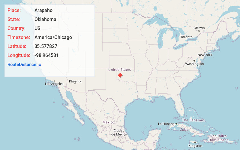
Full AddressArapaho, OK 73620
-
Coordinates35.5778272, -98.9645311
-
LocationArapaho , Oklahoma , US
-
TimezoneAmerica/Chicago
-
Current Local Time4:23:29 AM America/ChicagoFriday, June 20, 2025
-
Page Views0
About Arapaho
Arapaho is a town in and the county seat of Custer County, Oklahoma, United States. The population was 668 at the time of the 2020 census. The town lies long U.S. Route 183 and is named for the Arapaho Native American tribe.


Nearby Places
Found 10 places within 50 miles

Clinton
4.3 mi
6.9 km
Clinton, OK
Get directions

Weatherford
14.9 mi
24.0 km
Weatherford, OK 73096
Get directions

Thomas
16.7 mi
26.9 km
Thomas, OK 73669
Get directions

Burns Flat
19.6 mi
31.5 km
Burns Flat, OK 73647
Get directions

New Cordell
19.8 mi
31.9 km
New Cordell, OK 73632
Get directions

Hydro
21.8 mi
35.1 km
Hydro, OK
Get directions

Elk City
27.3 mi
43.9 km
Elk City, OK
Get directions

Sentinel
31.4 mi
50.5 km
Sentinel, OK 73664
Get directions

Hinton
35.0 mi
56.3 km
Hinton, OK 73047
Get directions

Watonga
36.0 mi
57.9 km
Watonga, OK
Get directions
Location Links
Local Weather
Weather Information
Coming soon!
Location Map
Static map view of Arapaho, Oklahoma
Browse Places by Distance
Places within specific distances from Arapaho
Short Distances
Long Distances
Click any distance to see all places within that range from Arapaho. Distances shown in miles (1 mile ≈ 1.61 kilometers).