Distance to Burns Flat, Oklahoma

Calculating Your Route
Just a moment while we process your request...
Location Information
-
Full AddressBurns Flat, OK 73647
-
Coordinates35.3489397, -99.1703617
-
LocationBurns Flat , Oklahoma , US
-
TimezoneAmerica/Chicago
-
Current Local Time3:34:53 PM America/ChicagoWednesday, May 21, 2025
-
Page Views0
About Burns Flat
Burns Flat is a town in Washita County, Oklahoma, United States. The population was 2,057 at the 2010 census.

Nearby Places
Found 8 places within 50 miles

New Cordell
11.0 mi
17.7 km
New Cordell, OK 73632
Get directions

Elk City
13.9 mi
22.4 km
Elk City, OK
Get directions

Clinton
16.2 mi
26.1 km
Clinton, OK
Get directions

Hobart
22.5 mi
36.2 km
Hobart, OK 73651
Get directions

Sayre
26.8 mi
43.1 km
Sayre, OK 73662
Get directions

Weatherford
28.8 mi
46.3 km
Weatherford, OK 73096
Get directions

Mangum
38.0 mi
61.2 km
Mangum, OK 73554
Get directions

Hinton
46.7 mi
75.2 km
Hinton, OK 73047
Get directions
Location Links
Local Weather
Weather Information
Coming soon!
Location Map
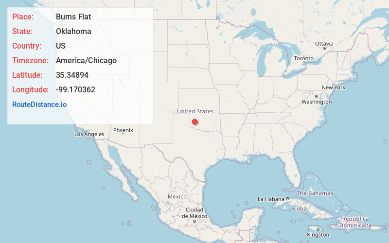
Static map view of Burns Flat, Oklahoma
Browse Places by Distance
Places within specific distances from Burns Flat
Short Distances
Long Distances
Click any distance to see all places within that range from Burns Flat. Distances shown in miles (1 mile ≈ 1.61 kilometers).