Distance to Hobart, Oklahoma

Calculating Your Route
Just a moment while we process your request...
Location Information
-
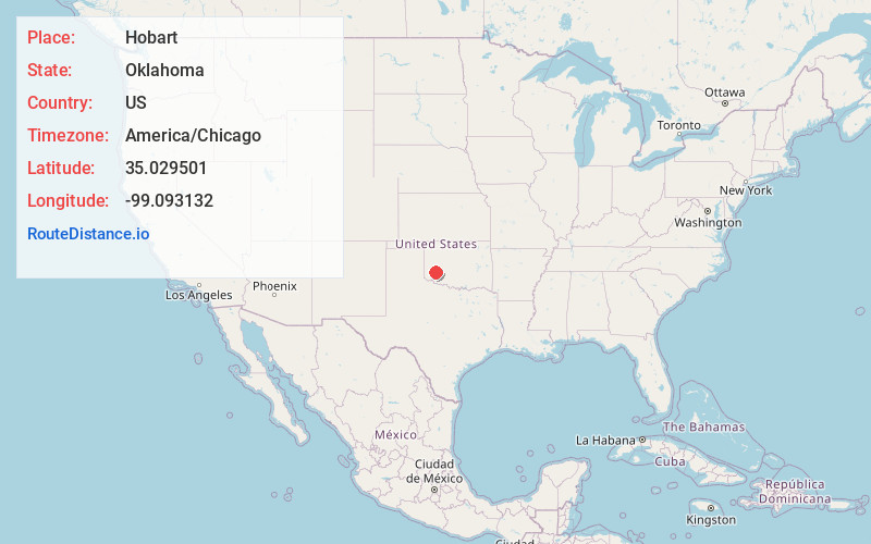
Full AddressHobart, OK 73651
-
Coordinates35.0295009, -99.0931317
-
LocationHobart , Oklahoma , US
-
TimezoneAmerica/Chicago
-
Current Local Time2:49:31 PM America/ChicagoWednesday, June 18, 2025
-
Page Views0
About Hobart
Hobart is a city in, and the county seat of, Kiowa County, Oklahoma, United States. It is west-southwest of Oklahoma City, and northwest of Lawton. It was named for Garret Hobart, the 24th Vice President of the United States. Its population was 3,413 at the 2020 Census. It is served by Hobart Regional Airport.


Nearby Places
Found 9 places within 50 miles

Altus
30.3 mi
48.8 km
Altus, OK
Get directions

Elk City
31.7 mi
51.0 km
Elk City, OK
Get directions

Clinton
34.3 mi
55.2 km
Clinton, OK
Get directions

Sayre
35.8 mi
57.6 km
Sayre, OK 73662
Get directions

Weatherford
40.6 mi
65.3 km
Weatherford, OK 73096
Get directions

Frederick
44.3 mi
71.3 km
Frederick, OK 73542
Get directions

Anadarko
48.1 mi
77.4 km
Anadarko, OK 73005
Get directions

Elgin
48.5 mi
78.1 km
Elgin, OK 73538
Get directions

Lawton
49.3 mi
79.3 km
Lawton, OK
Get directions
Location Links
Local Weather
Weather Information
Coming soon!
Location Map
Static map view of Hobart, Oklahoma
Browse Places by Distance
Places within specific distances from Hobart
Short Distances
Long Distances
Click any distance to see all places within that range from Hobart. Distances shown in miles (1 mile ≈ 1.61 kilometers).