Distance to Arapahoe Basin, Colorado

Calculating Your Route
Just a moment while we process your request...
Location Information
-
Full AddressArapahoe Basin, Keystone, CO 80435
-
Coordinates39.634108, -105.8714672
-
LocationKeystone , Colorado , US
-
TimezoneAmerica/Denver
-
Current Local Time3:16:13 PM America/DenverThursday, June 19, 2025
-
Website
-
Page Views0
About Arapahoe Basin
Longtime ski resort offering high-elevation terrain & a long season, plus lessons, rentals & dining.


Nearby Places
Found 10 places within 50 miles

Montezuma
3.7 mi
6.0 km
Montezuma, CO 80435
Get directions

Keystone
5.1 mi
8.2 km
Keystone, CO 80435
Get directions

Keystone Resort
5.3 mi
8.5 km
Keystone Resort, Keystone, CO 80435
Get directions

Bakerville
5.3 mi
8.5 km
Bakerville, CO 80435
Get directions

Graymont
5.6 mi
9.0 km
Graymont, CO 80435
Get directions

Colorado
7.5 mi
12.1 km
Colorado
Get directions

Silver Plume
8.9 mi
14.3 km
Silver Plume, CO 80476
Get directions

Dillon
9.2 mi
14.8 km
Dillon, CO
Get directions

Berthoud Falls
10.0 mi
16.1 km
Berthoud Falls, CO 80438
Get directions

Georgetown
10.5 mi
16.9 km
Georgetown, CO
Get directions
Location Links
Local Weather
Weather Information
Coming soon!
Location Map
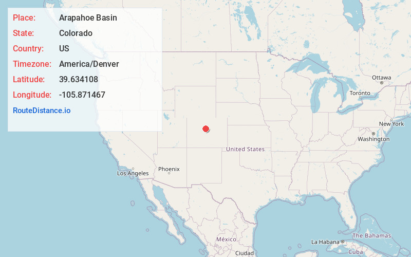
Static map view of Arapahoe Basin, Colorado
Browse Places by Distance
Places within specific distances from Arapahoe Basin
Short Distances
Long Distances
Click any distance to see all places within that range from Arapahoe Basin. Distances shown in miles (1 mile ≈ 1.61 kilometers).