Distance to Silver Plume, Colorado

Calculating Your Route
Just a moment while we process your request...
Location Information
-
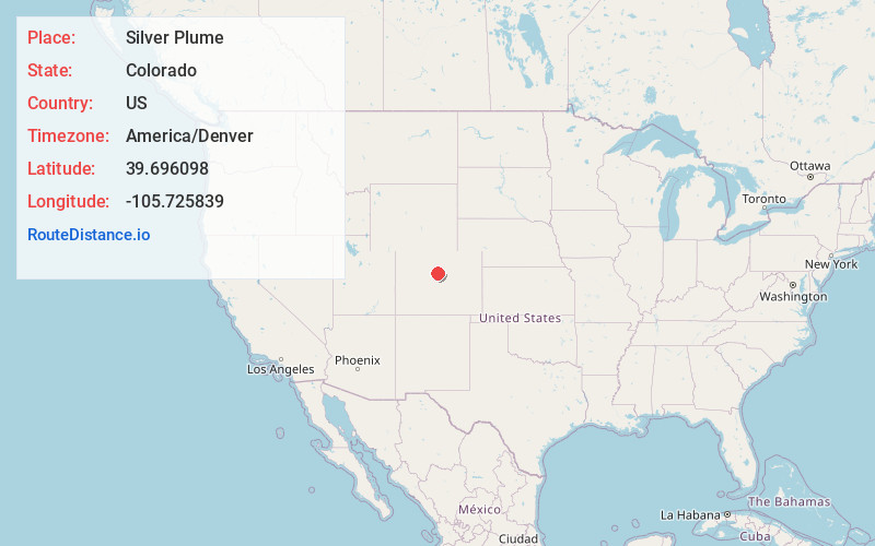
Full AddressSilver Plume, CO 80476
-
Coordinates39.6960983, -105.7258386
-
LocationSilver Plume , Colorado , US
-
TimezoneAmerica/Denver
-
Current Local Time5:00:43 PM America/DenverSunday, June 1, 2025
-
Page Views0
About Silver Plume
Silver Plume is a Statutory Town located in Clear Creek County, Colorado, United States. Silver Plume is a former silver mining camp along Clear Creek in the Front Range of the Rocky Mountains.


Nearby Places
Found 10 places within 50 miles

Georgetown
1.7 mi
2.7 km
Georgetown, CO
Get directions

Empire
5.0 mi
8.0 km
Empire, CO
Get directions

Downieville-Lawson-Dumont
7.5 mi
12.1 km
Downieville-Lawson-Dumont, CO
Get directions

St. Mary's Glacier
10.5 mi
16.9 km
St. Mary's Glacier, Colorado 80452
Get directions

Idaho Springs
11.7 mi
18.8 km
Idaho Springs, CO
Get directions

Central City
13.4 mi
21.6 km
Central City, CO
Get directions

Winter Park
13.7 mi
22.0 km
Winter Park, CO 80482
Get directions

Keystone
13.7 mi
22.0 km
Keystone, CO 80435
Get directions
Floyd Hill
15.5 mi
24.9 km
Floyd Hill, CO 80439
Get directions

Upper Bear Creek
17.4 mi
28.0 km
Upper Bear Creek, CO 80439
Get directions
Location Links
Local Weather
Weather Information
Coming soon!
Location Map
Static map view of Silver Plume, Colorado
Browse Places by Distance
Places within specific distances from Silver Plume
Short Distances
Long Distances
Click any distance to see all places within that range from Silver Plume. Distances shown in miles (1 mile ≈ 1.61 kilometers).