Distance to Floyd Hill, Colorado

Calculating Your Route
Just a moment while we process your request...
Location Information
-
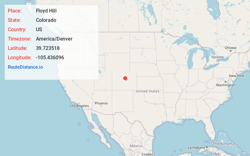
Full AddressFloyd Hill, CO 80439
-
Coordinates39.7235177, -105.4360963
-
LocationFloyd Hill , Colorado , US
-
TimezoneAmerica/Denver
-
Current Local Time2:58:36 PM America/DenverSunday, June 29, 2025
-
Page Views0
About Floyd Hill
Floyd Hill is an unincorporated community and a census-designated place located in and governed by Clear Creek County, Colorado, United States. The CDP is a part of the Denver–Aurora–Lakewood, CO Metropolitan Statistical Area. The population of the Floyd Hill CDP was 1,048 at the United States Census 2020.
Nearby Places
Found 10 places within 50 miles

Idaho Springs
4.3 mi
6.9 km
Idaho Springs, CO
Get directions

Upper Bear Creek
6.8 mi
10.9 km
Upper Bear Creek, CO 80439
Get directions

Kittredge
8.7 mi
14.0 km
Kittredge, CO
Get directions

Evergreen
8.9 mi
14.3 km
Evergreen, CO 80439
Get directions

Genesee
9.2 mi
14.8 km
Genesee, CO
Get directions

Golden
11.6 mi
18.7 km
Golden, CO
Get directions

Indian Hills
12.9 mi
20.8 km
Indian Hills, CO
Get directions

Coal Creek
13.6 mi
21.9 km
Coal Creek, CO 80403
Get directions
West Pleasant View
13.7 mi
22.0 km
West Pleasant View, CO 80401
Get directions

Georgetown
13.9 mi
22.4 km
Georgetown, CO
Get directions
Location Links
Local Weather
Weather Information
Coming soon!
Location Map
Static map view of Floyd Hill, Colorado
Browse Places by Distance
Places within specific distances from Floyd Hill
Short Distances
Long Distances
Click any distance to see all places within that range from Floyd Hill. Distances shown in miles (1 mile ≈ 1.61 kilometers).